Ecuador – Mix of the Southeast
Vilcabamba
On the first image in this chapter, a map of Ecuador, you will find Cuenca in the lower-middle, towards the top of the narrow piece of the country to the south. Cuenca is considered a part of Southern Ecuador. It takes about four hours to reach Vilcabamba by car from Cuenca. Vilcabamba (not visible on this map) is almost straight south and very near the border with Peru.
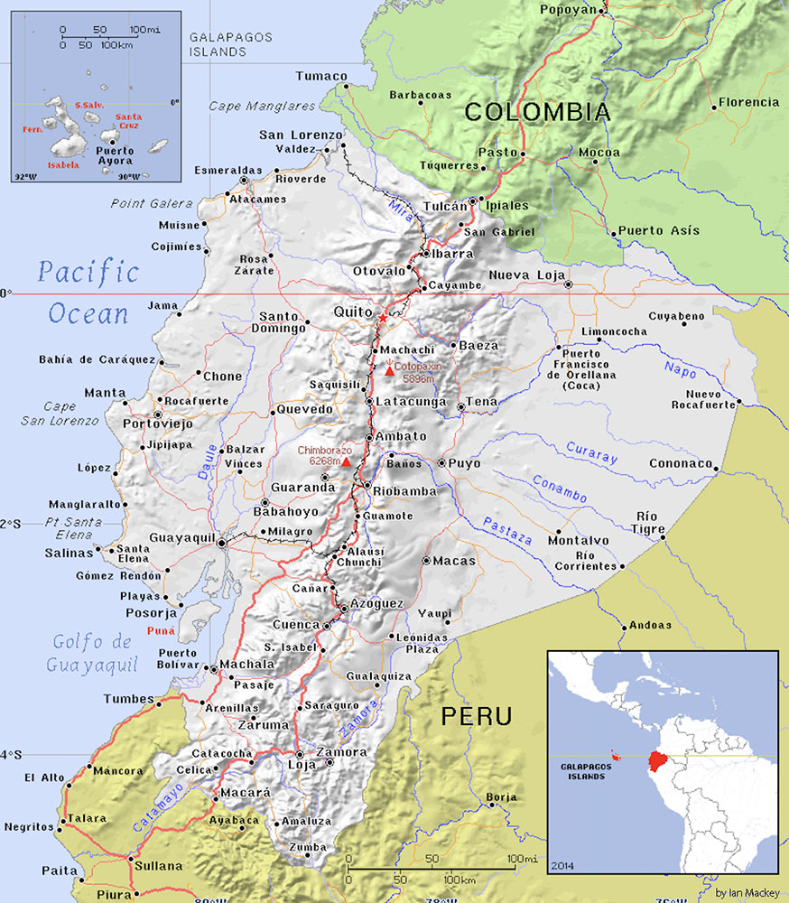
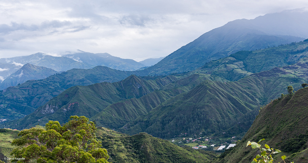
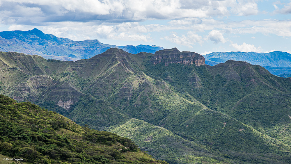
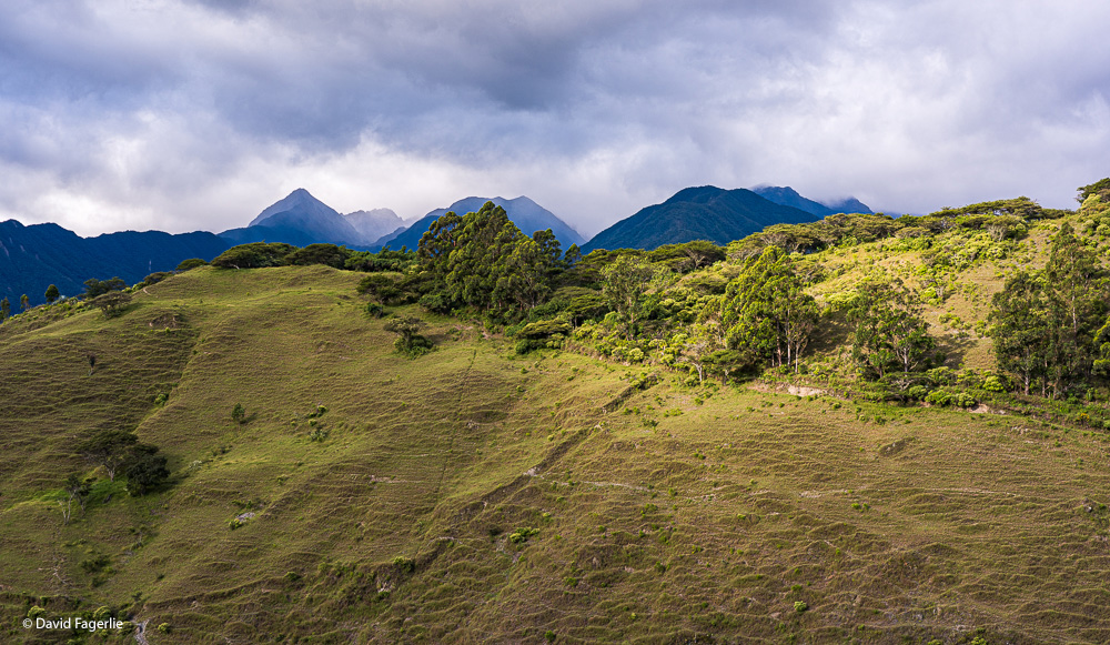
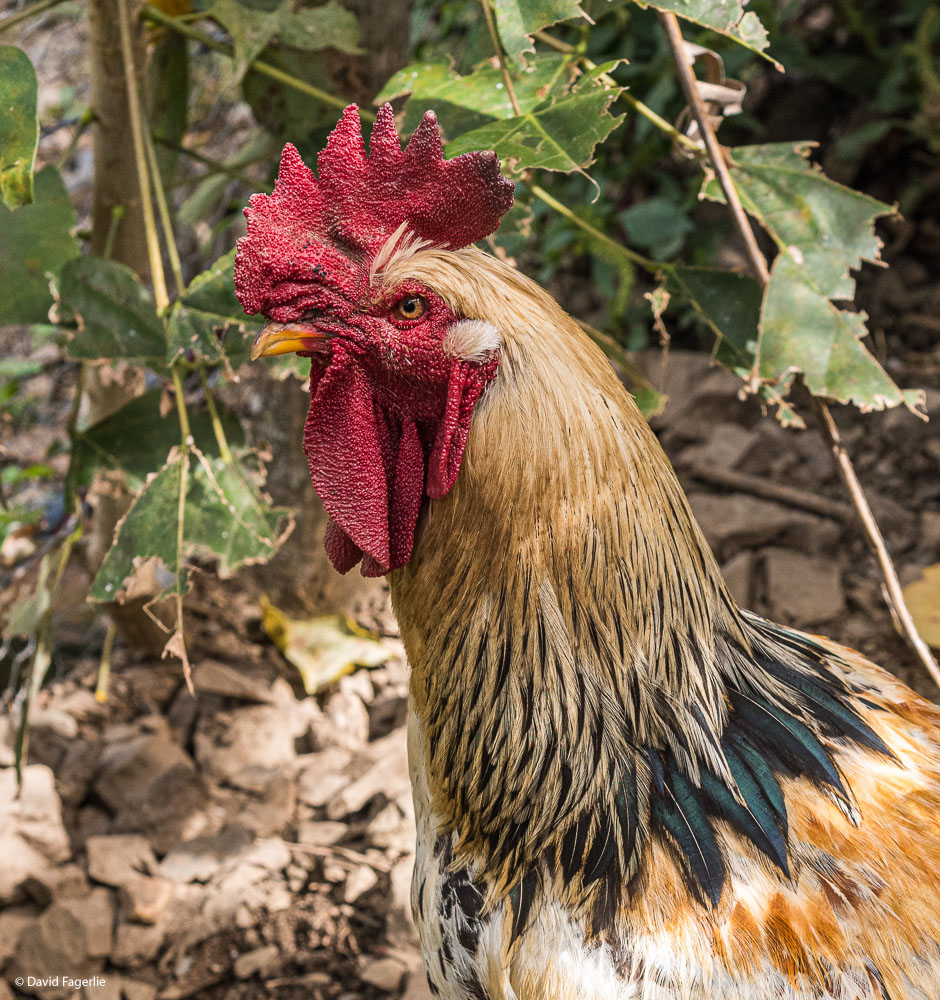
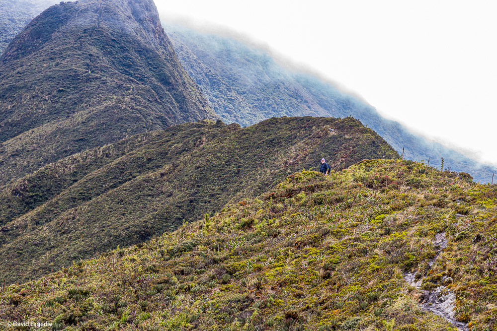
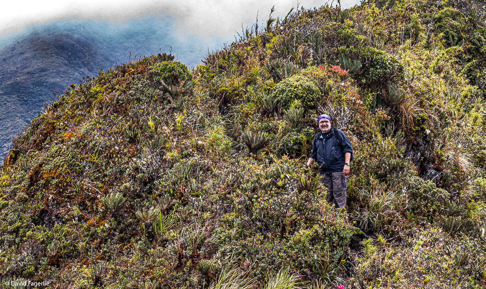
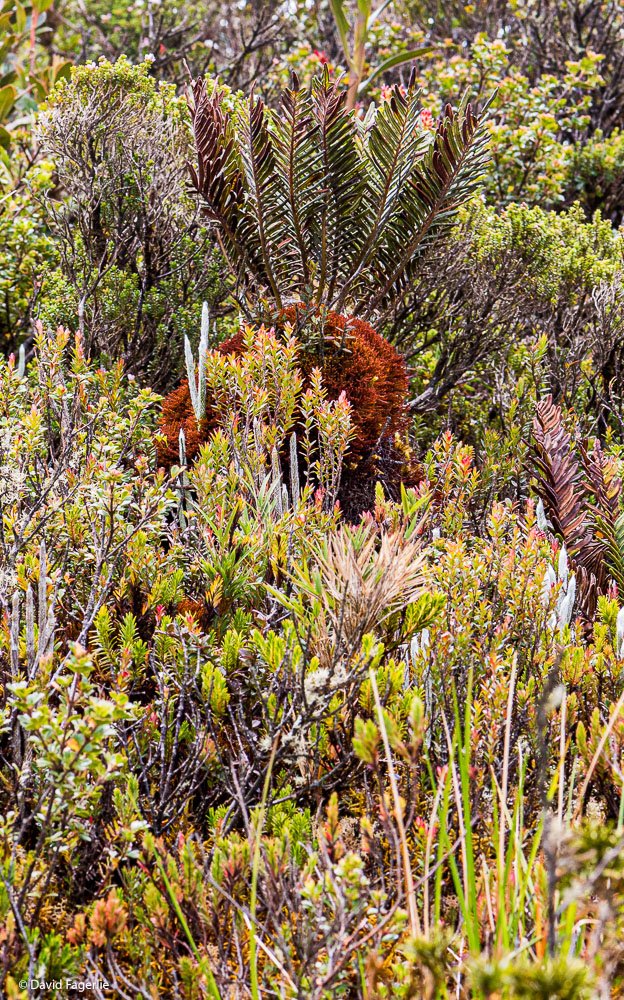
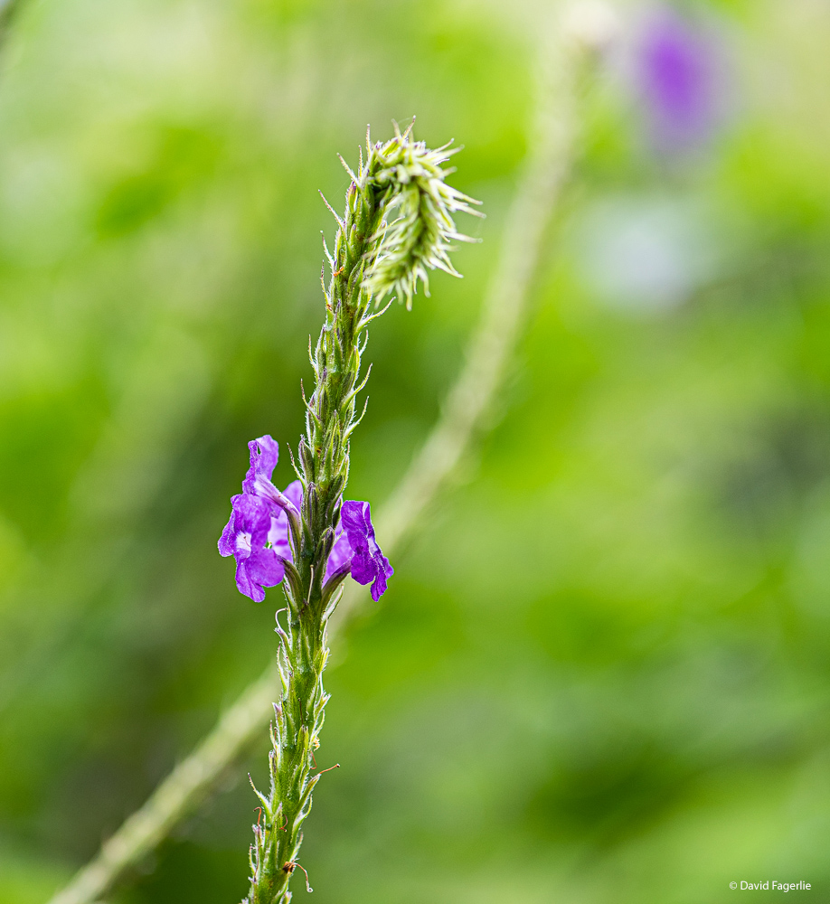
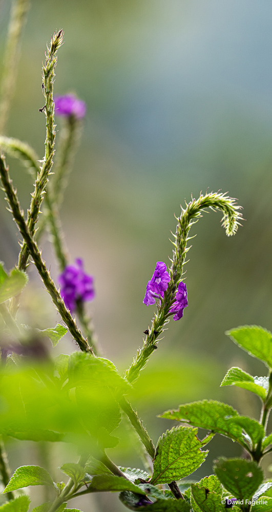
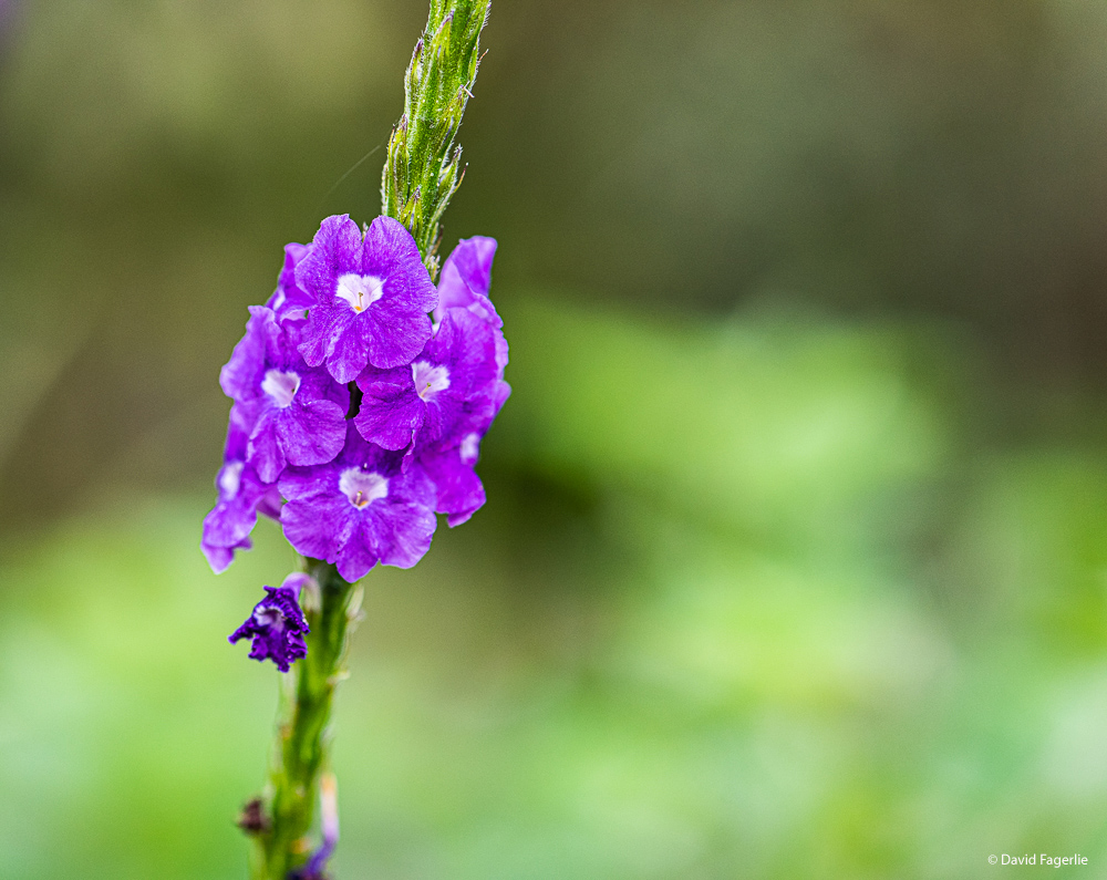
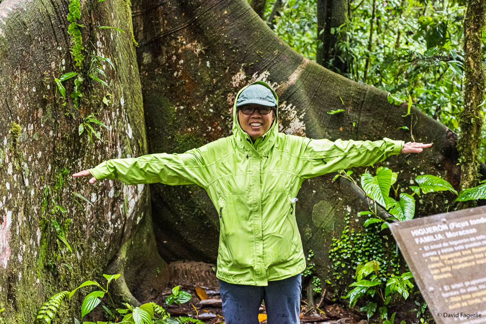
Cuenca is at 8,300 feet. Temperatures average in the 60s and can get to the 70s in December and lower in July and August. Vilcabamba is at about 6,000 feet and therefore a lot warmer. Let’s start with views from the ridges near the city. All taxis in Vilcabamba are four-wheel-drive. They shuttle people up the mountains to where one might live, and where I was staying with friends, or back down to Vilcabamba to get groceries or dine out. In the first two images below you might imagine that there are ridge hikes that are only wide enough for the trail, dropping steeply on both sides. The biggest risk, which is really a risk, is facing a bull on the trail moving in the opposite direction. The third image shows where I hiked that is a more gentle terrain. After that, photos I took while in that area.
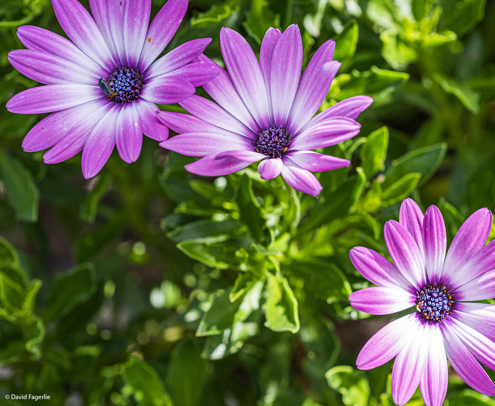
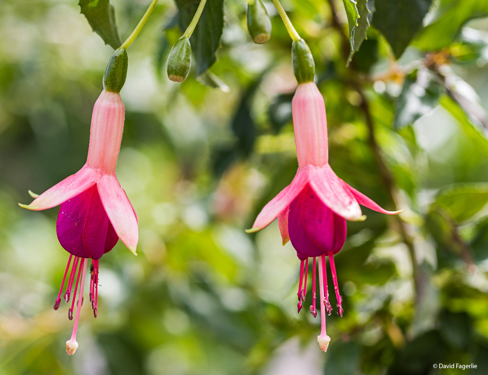
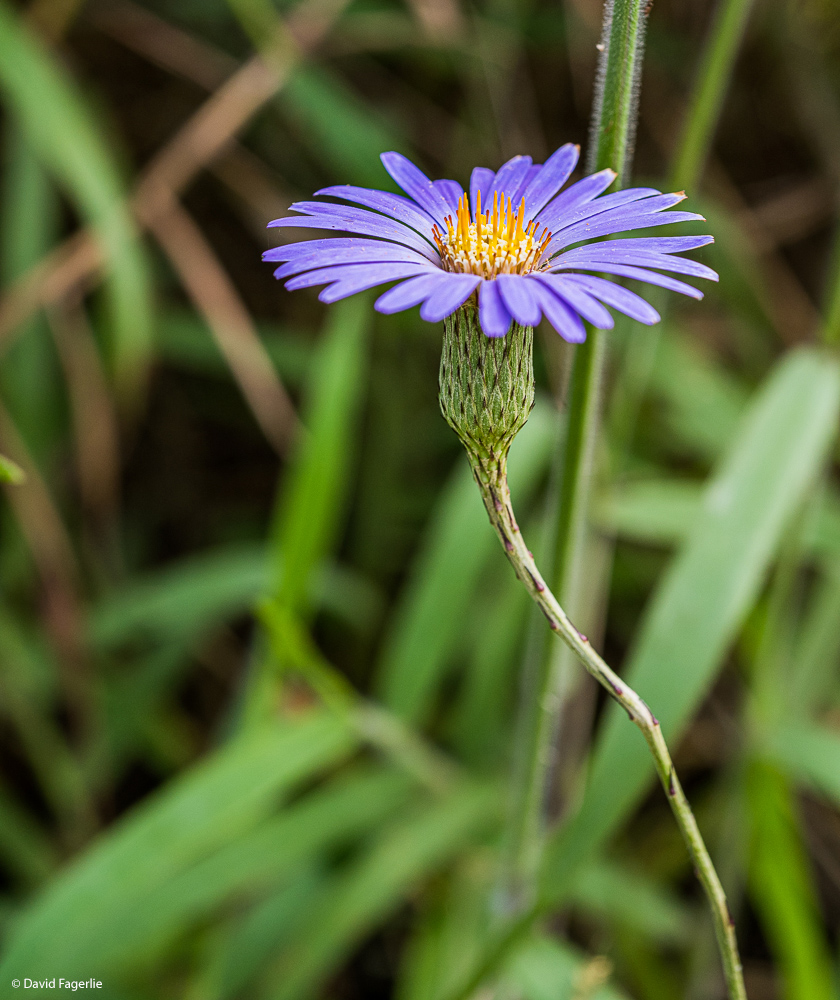
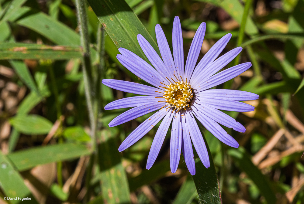
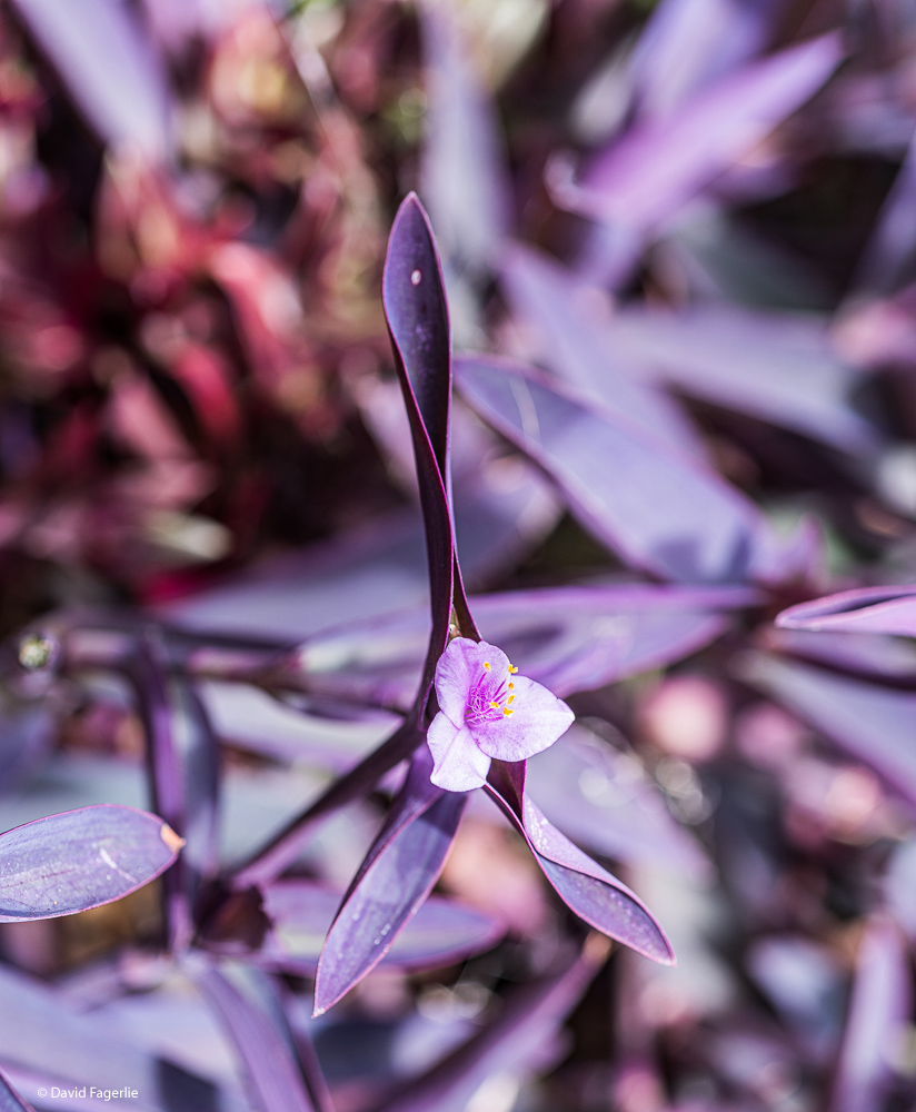
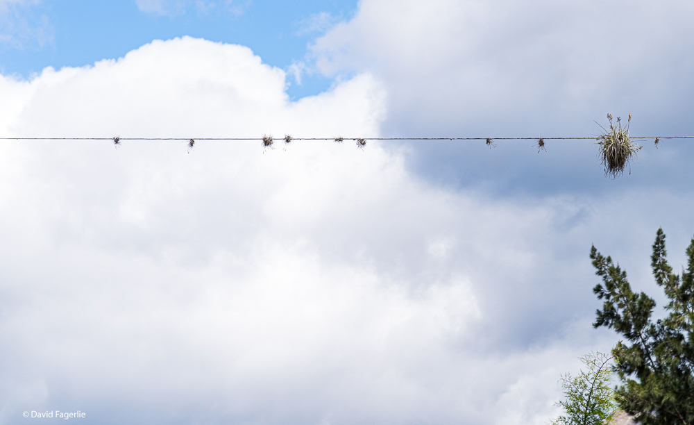
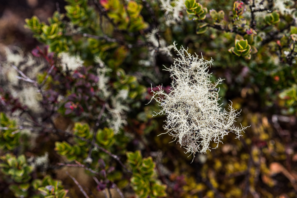
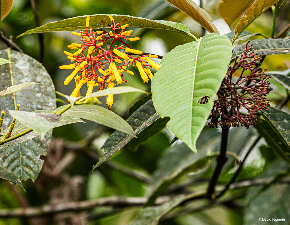
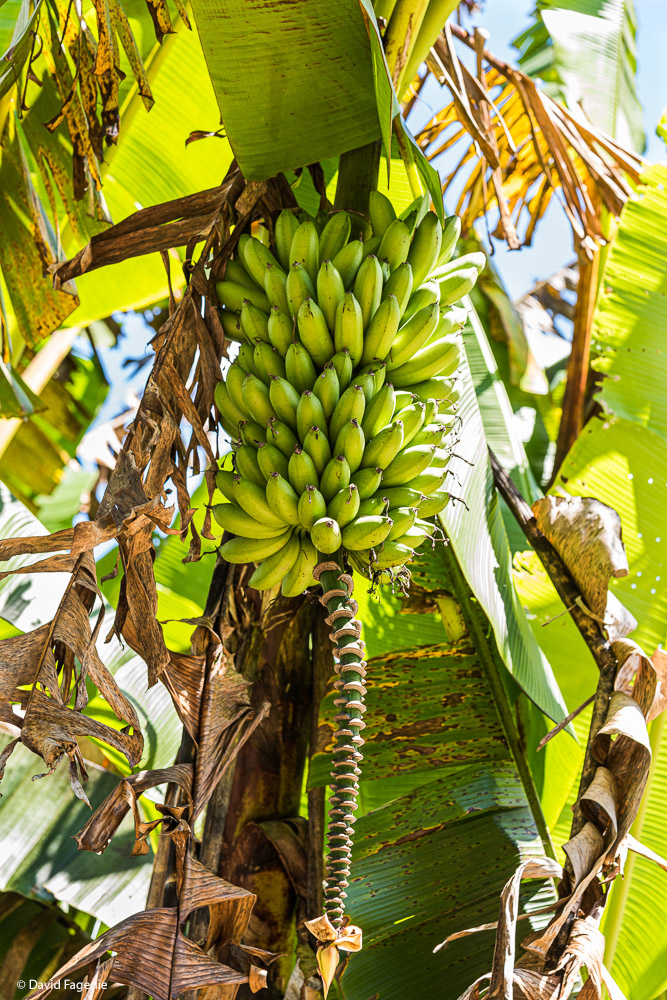
Everything seems to grow in Ecuador, even on electrical wires…
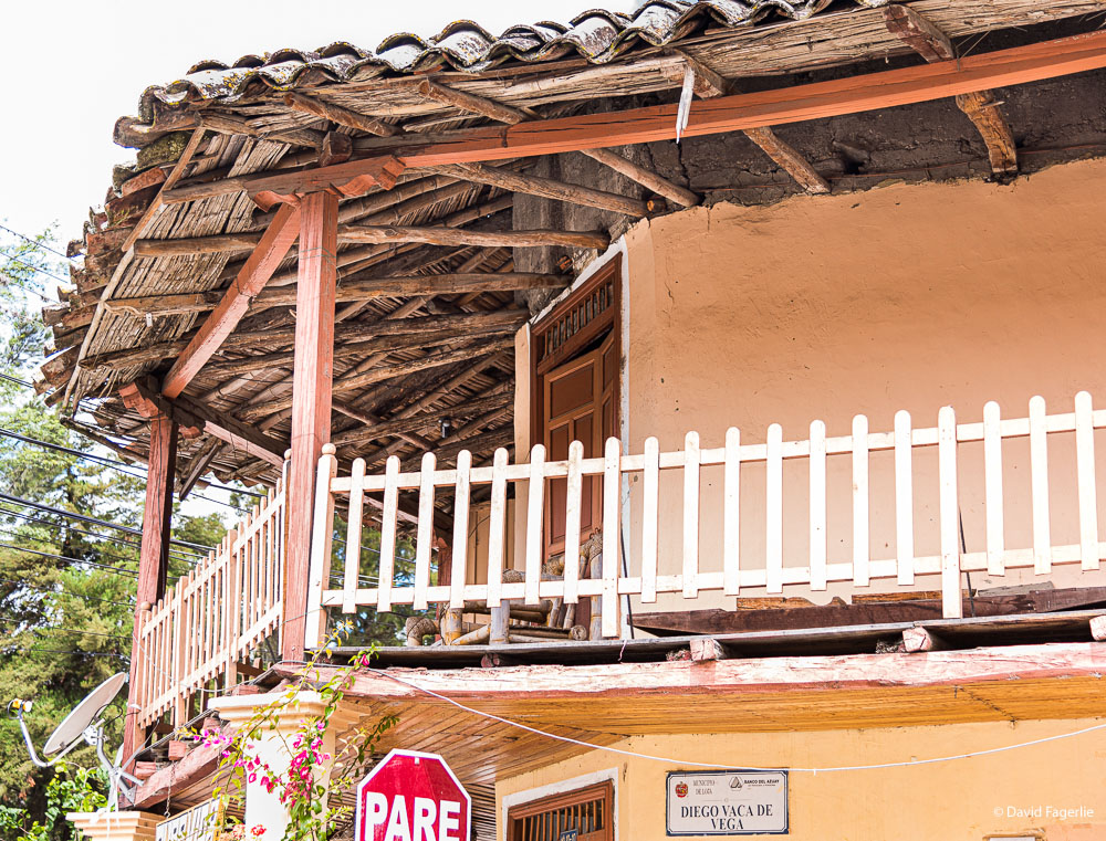
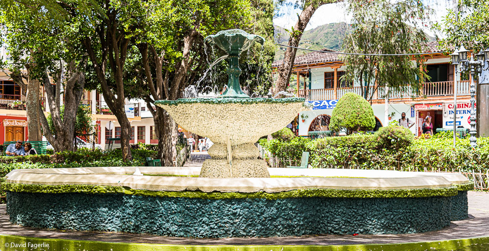
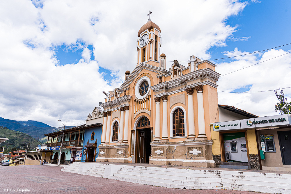
Going downhill and closer to the city the more usual sights of a community appear.
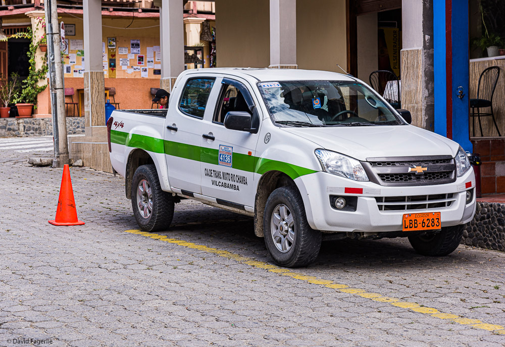
Here is a photo of a Vilcabamba taxi. They all look the same, they are all four-wheel-drive, and the drivers know how to handle them.
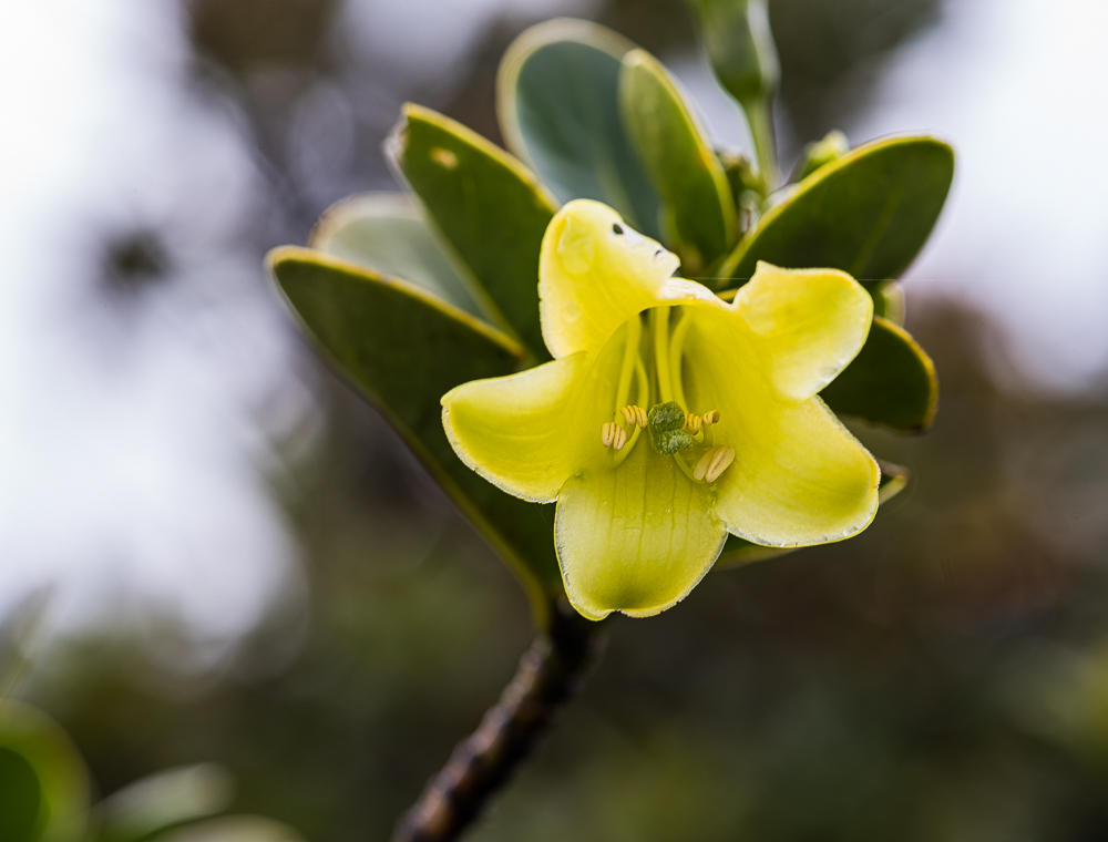
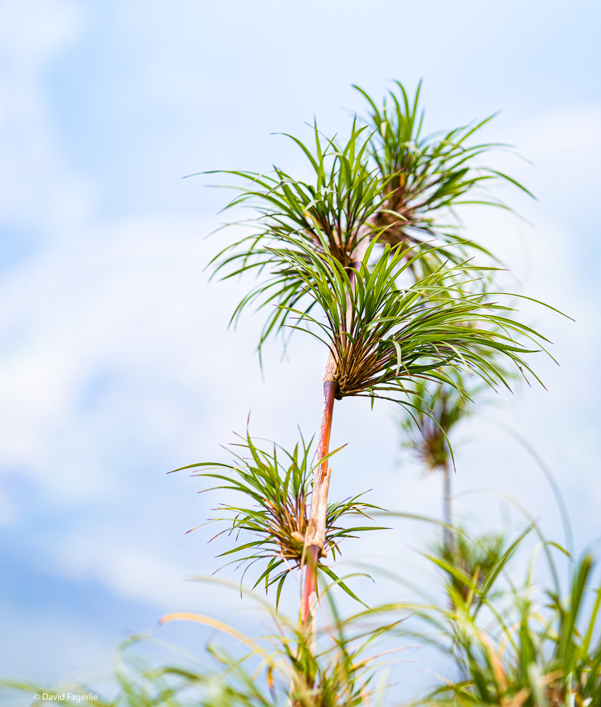
Parque National Podocarpus
A short distance east of Vilcabamba, taking up most of the Southeast portion of Ecuador, is Parque Nacional Podocarpus, a national park known for its birds, plant life and more. Entering from the west side there is a hiking trail leading to the upper elevations. My friend Patrick and I hiked to about 13,500 feet before the trail headed downward.
Entering from the east side one is in the western edge of the Oriente (the Amazon River basin).
Copalinga
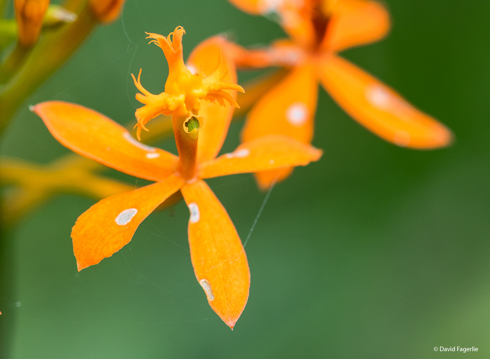
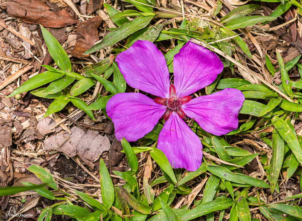
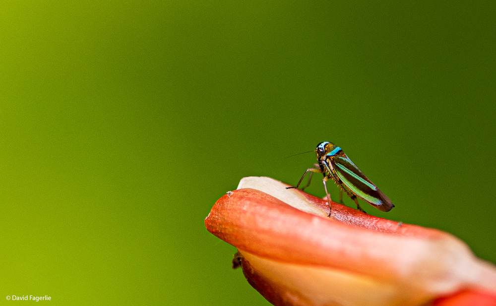
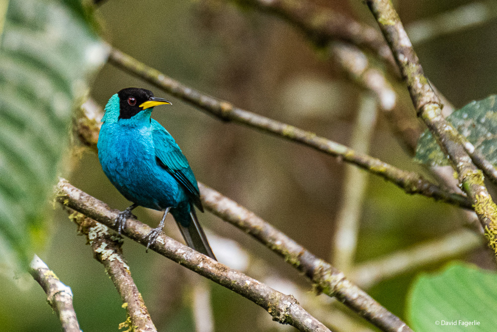
Just north of Podocarpus and east of the town of Zamora is an eco-lodge on the edge of the Oriente. Copalinga is all about birds. It is a very lush environment.
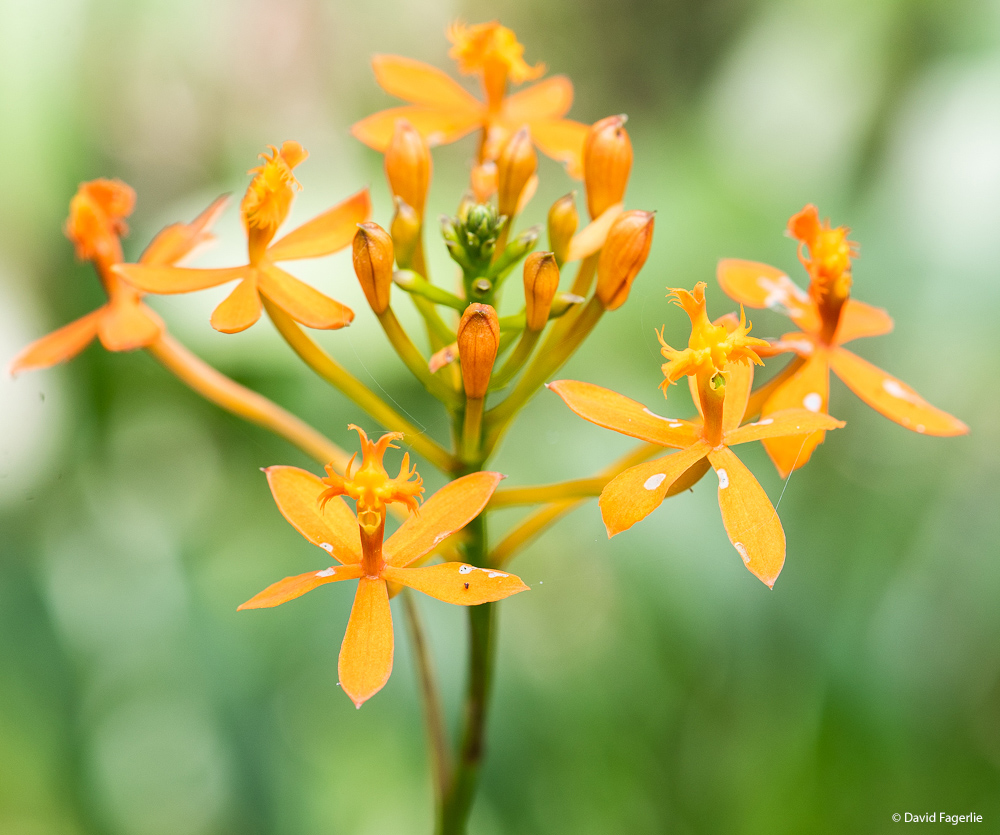

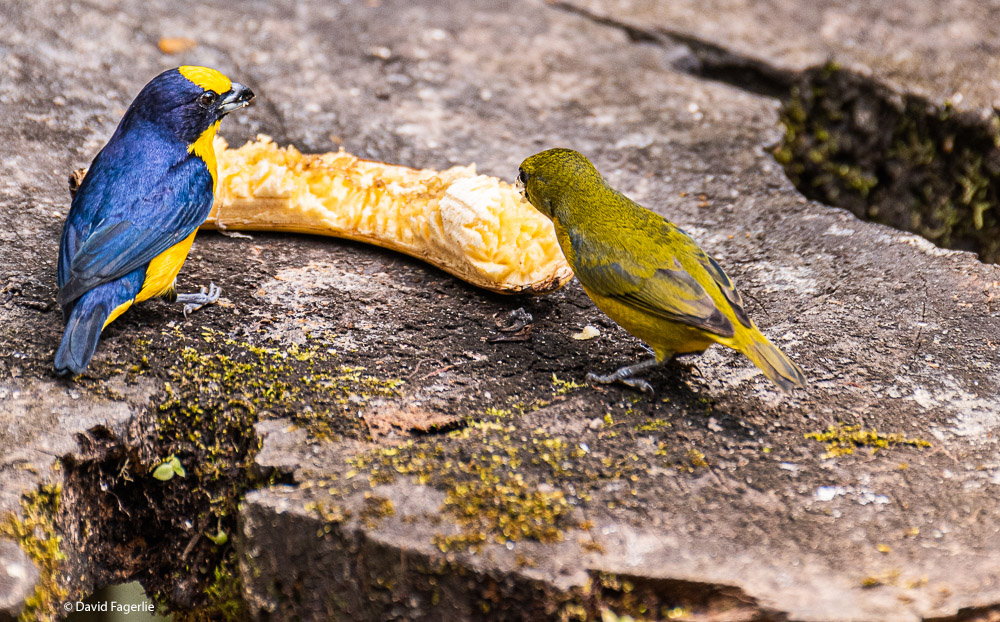
Now, down to the birds. First, the female Green-Honey Creeper - who came up with that name?
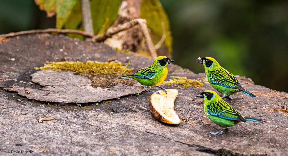
The Green and Gold Tanager.
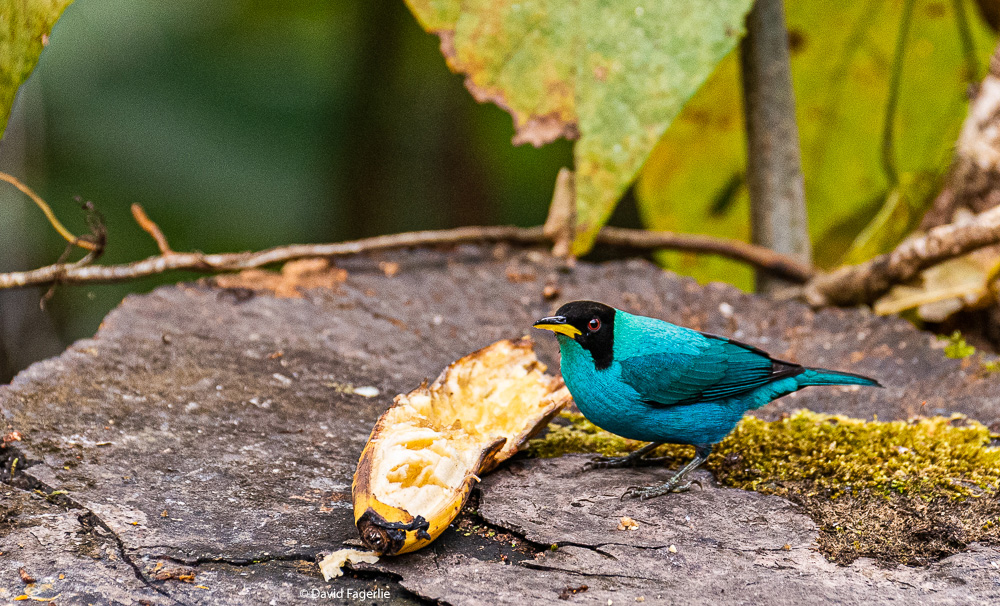
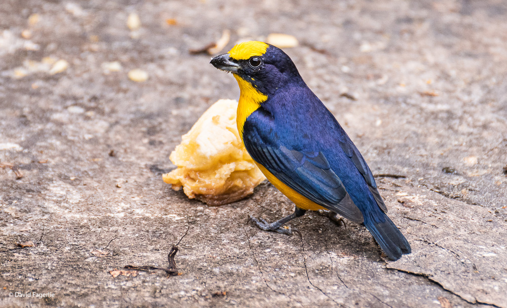
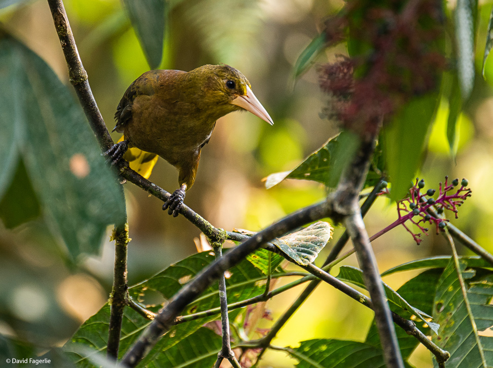
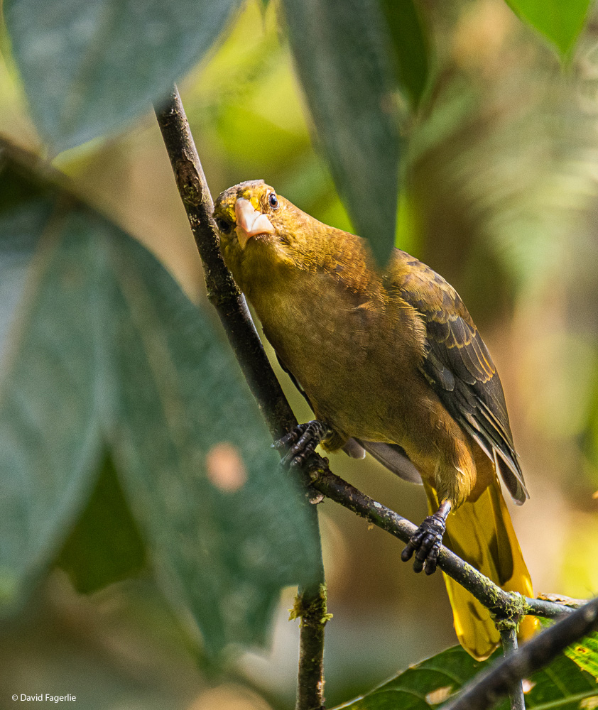
The female Thick-Billed Euphonia and what I believe is a male Green-Honey Creeper.
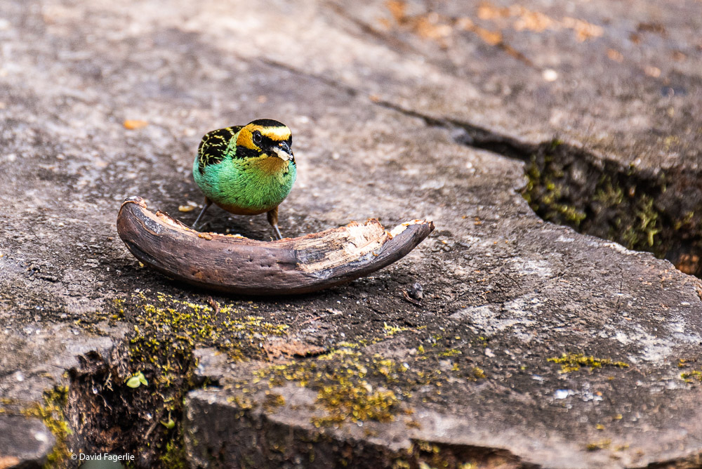
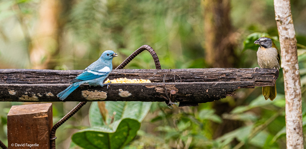
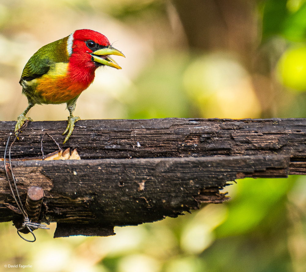
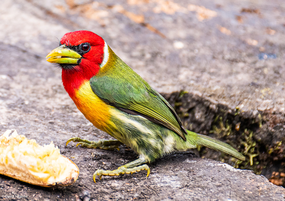
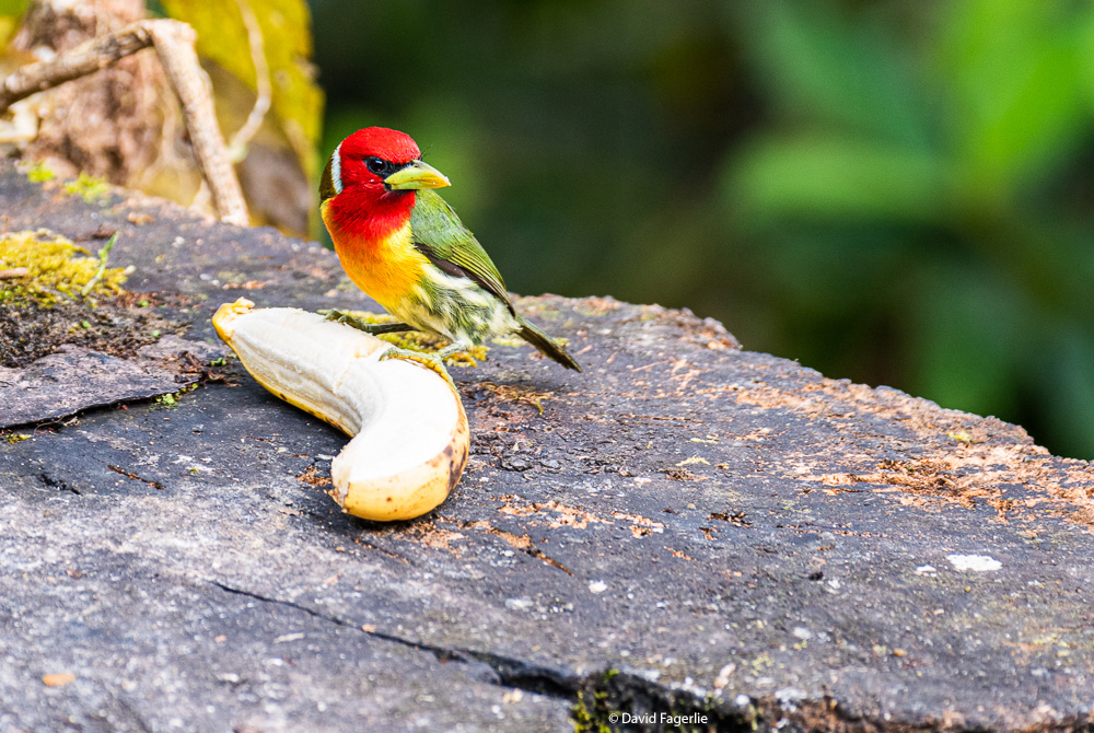
A Blue-Gray Tanager followed by my personal favorite of the small birds, the Red-Headed Barbet.
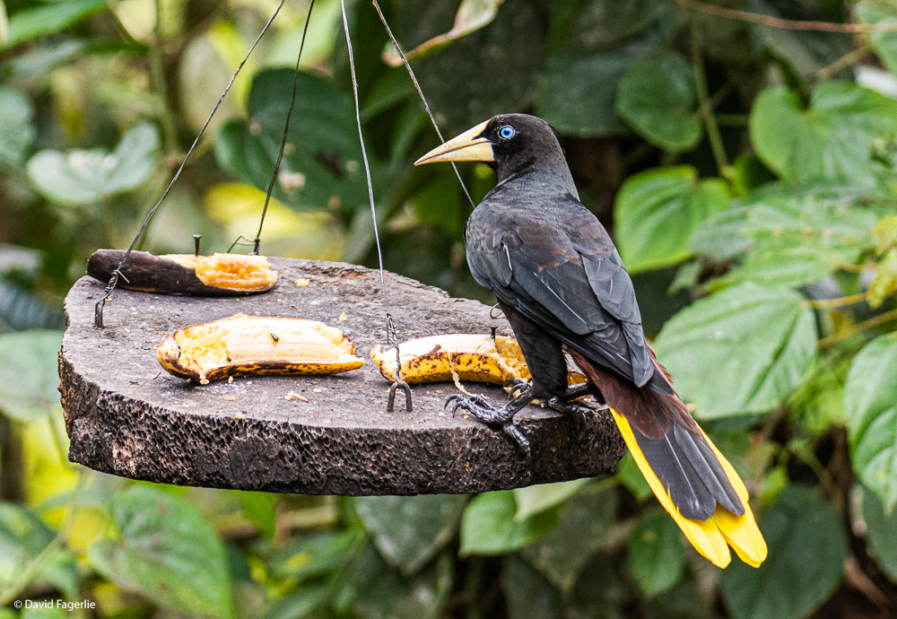
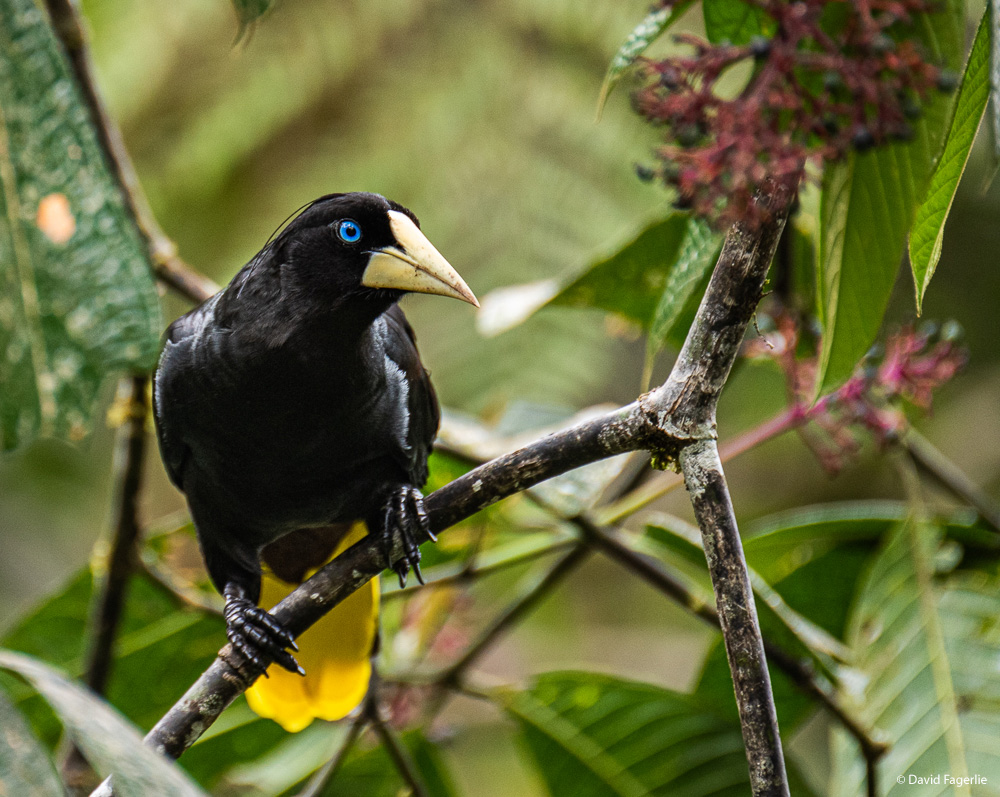
Now, I introduce you to some larger birds. First, a male Crested Oropendola; check out those eyes.
I believe this is a Russet-Backed Oropendola.
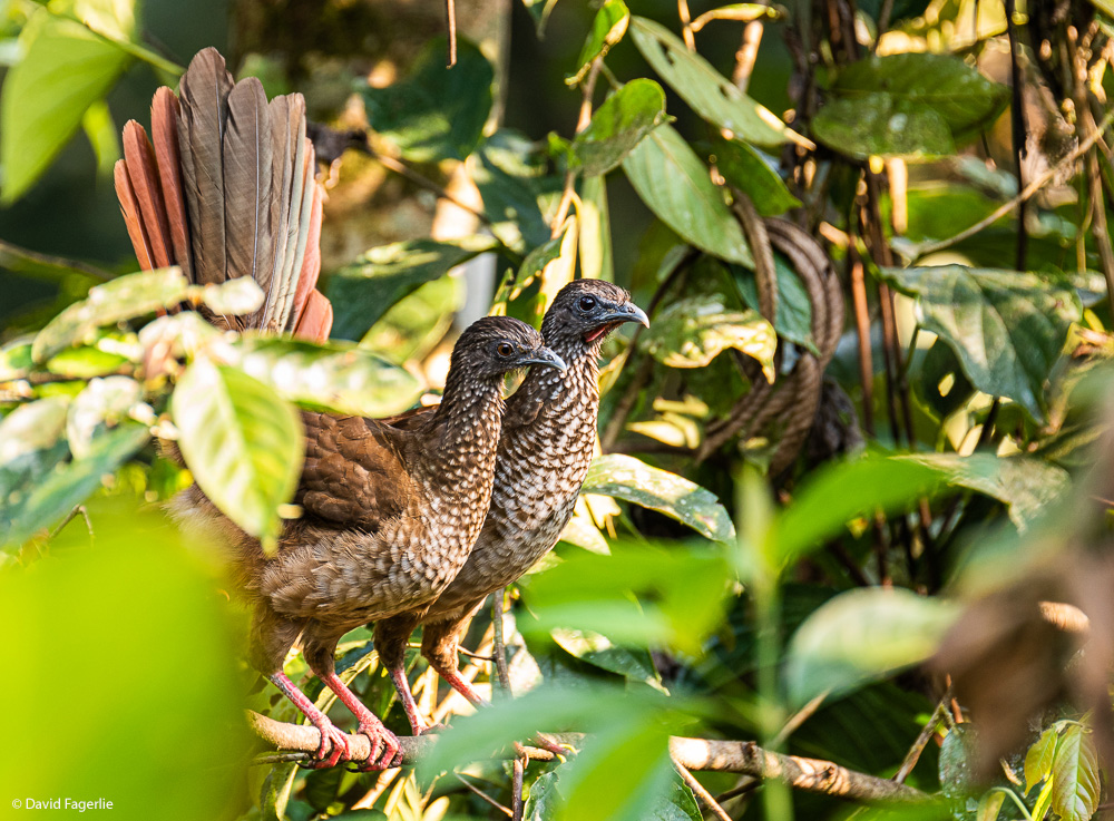
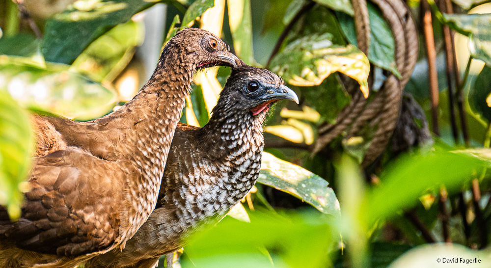
I am pretty sure the next two shots are of Bearded Guans.
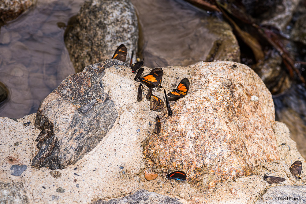
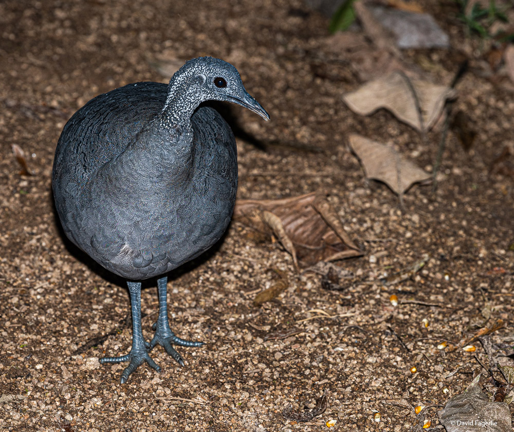
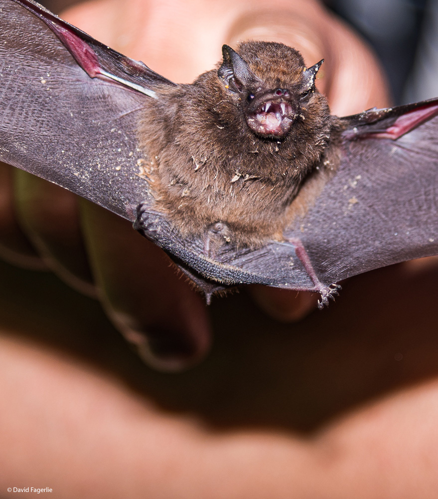
The most hard to find bird in the area is the Gray Tinamou. They can only be seen at night and even then seeing one is iffy.
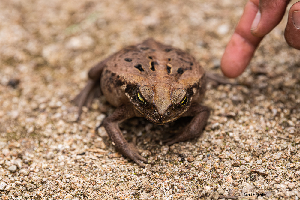
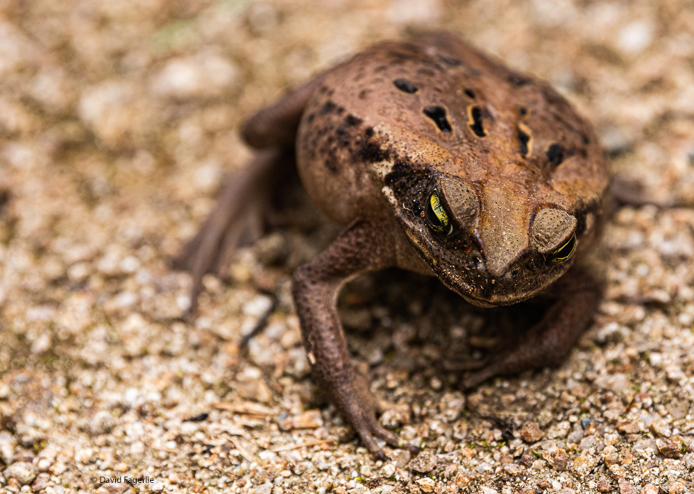
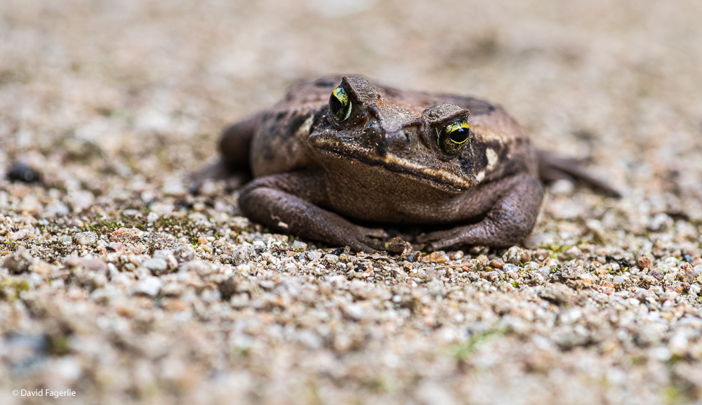
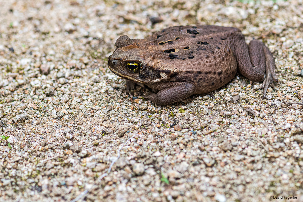
The next few images are of what I am pretty sure is a Cane Toad. Cane Toads secrete a milky poison from glands behind their shoulders. It is possible that just rubbing the skin can cause death.
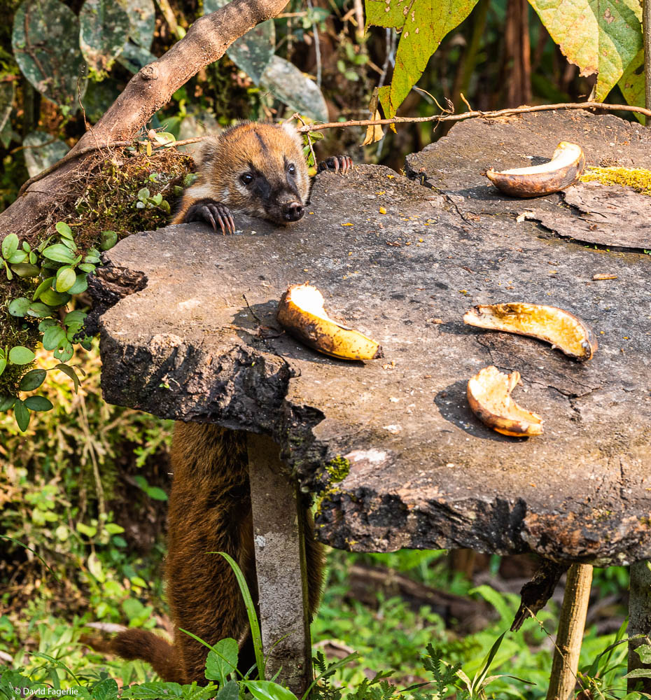
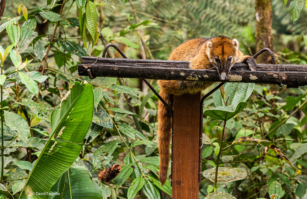
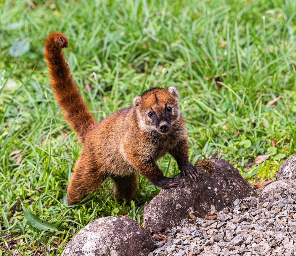
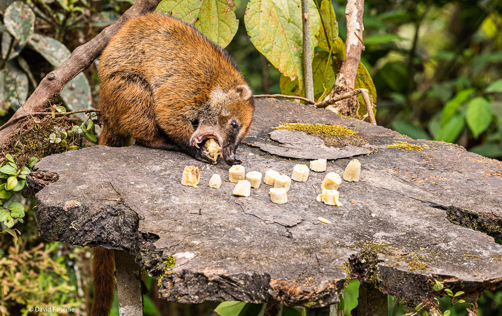
Last but not least, we had many encounters with a South American Coati - probably the same one each time as the lodge kitchen regularly fed him. Coati are related to raccoons but larger; they grow to as large as fifteen pounds and up to forty-four inches in length. Coati are wide spread throughout South America in lowlands east of the Andes Mountains.
Coati are omnivorous but primarily eat fruit, small animals and bird eggs. Females live in large bands of fifteen to thirty animals; males are solitary.
Sucúa
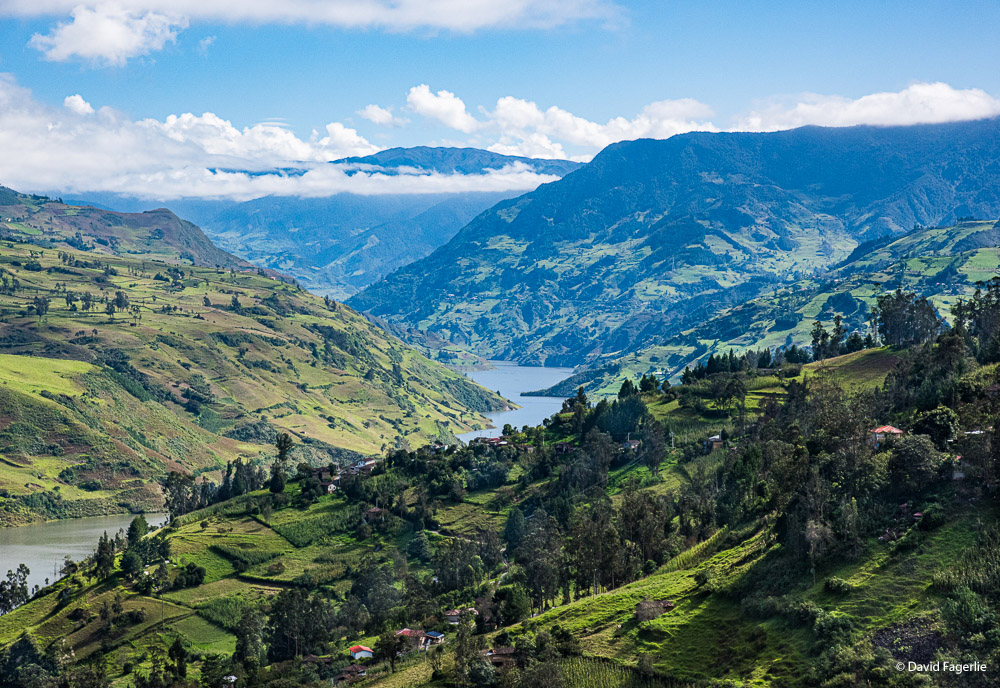
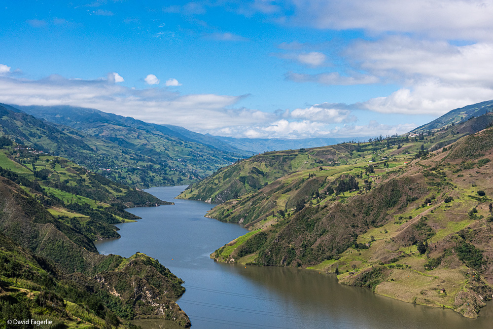
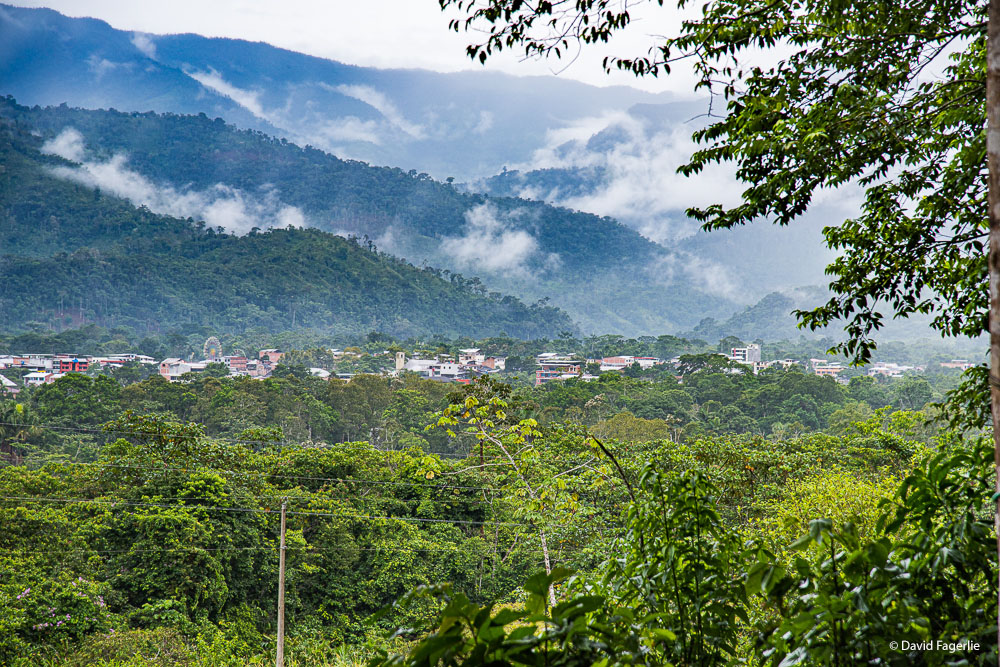
Sucúa is reached by traveling in a generally northeast direction from Cuenca. Drive time is about four hours. The continental divide is west of Cuenca; so, traveling northeast is all down hill. Views along the way are beautiful. Dropping from the elevation of Cuenca (8,300 feet) to Sucúa at 3,000 feet reveals a visual feast of climate changes.
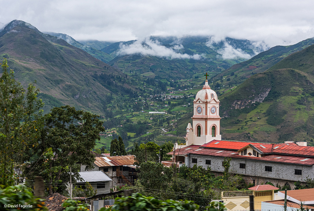
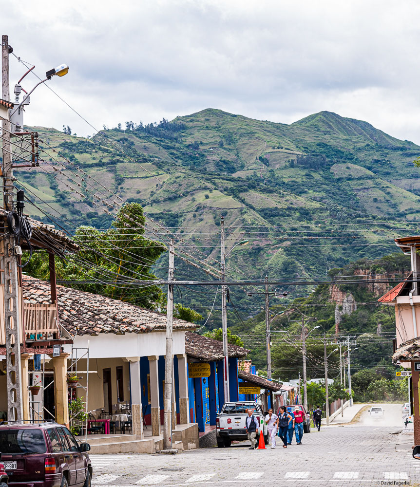
Sucúa is inside the Oriente/Amazon region. It is a lush and tropical environment as demonstrated in the photo showing the setting of the city.
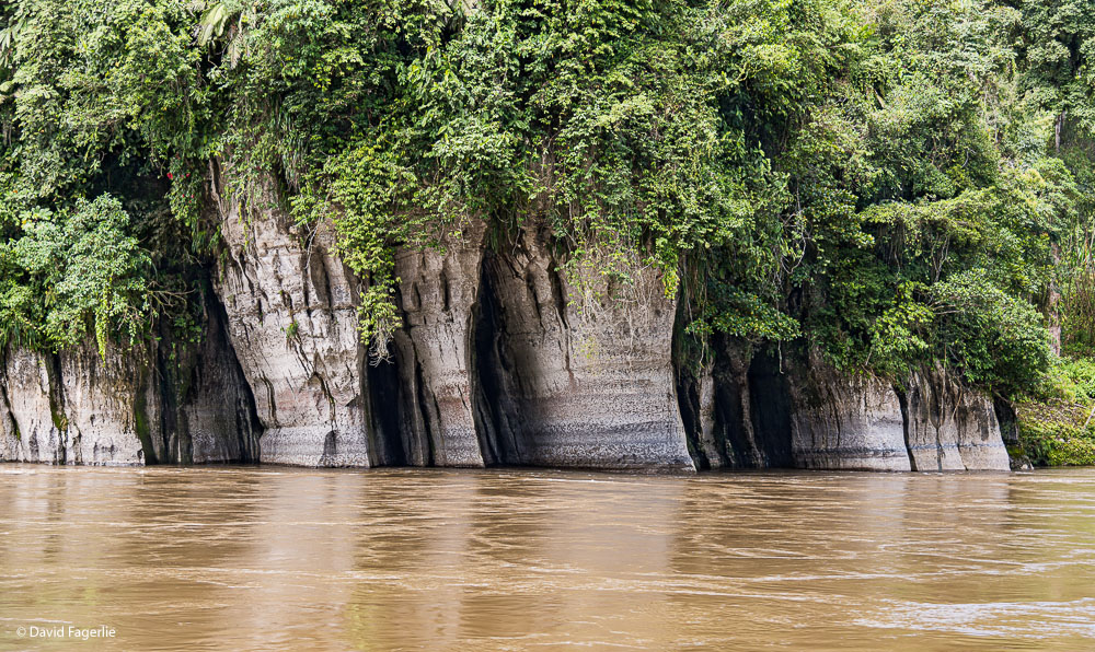
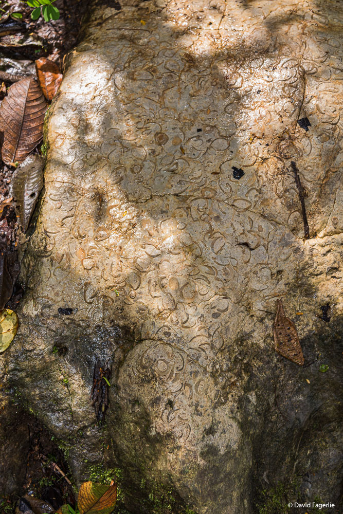
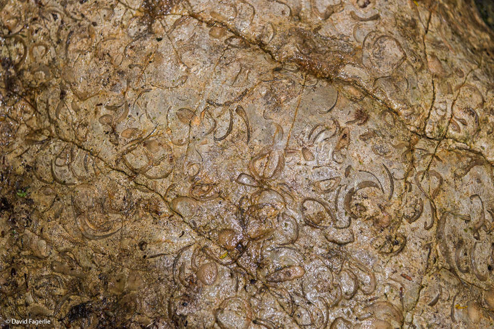
Spanish and Shuar, the language of an aboriginal tribe of the Amazon, are spoken in Sucúa. The Upono River runs from the high Sierra of the Andes through Sucúa and on to the Amazon basin; the water eventually becomes part of the Amazon River. There are some interesting rock formations.
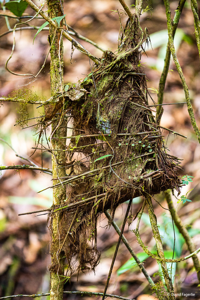
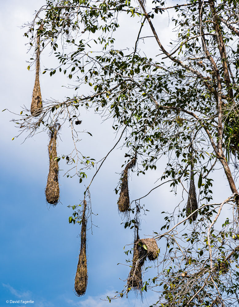
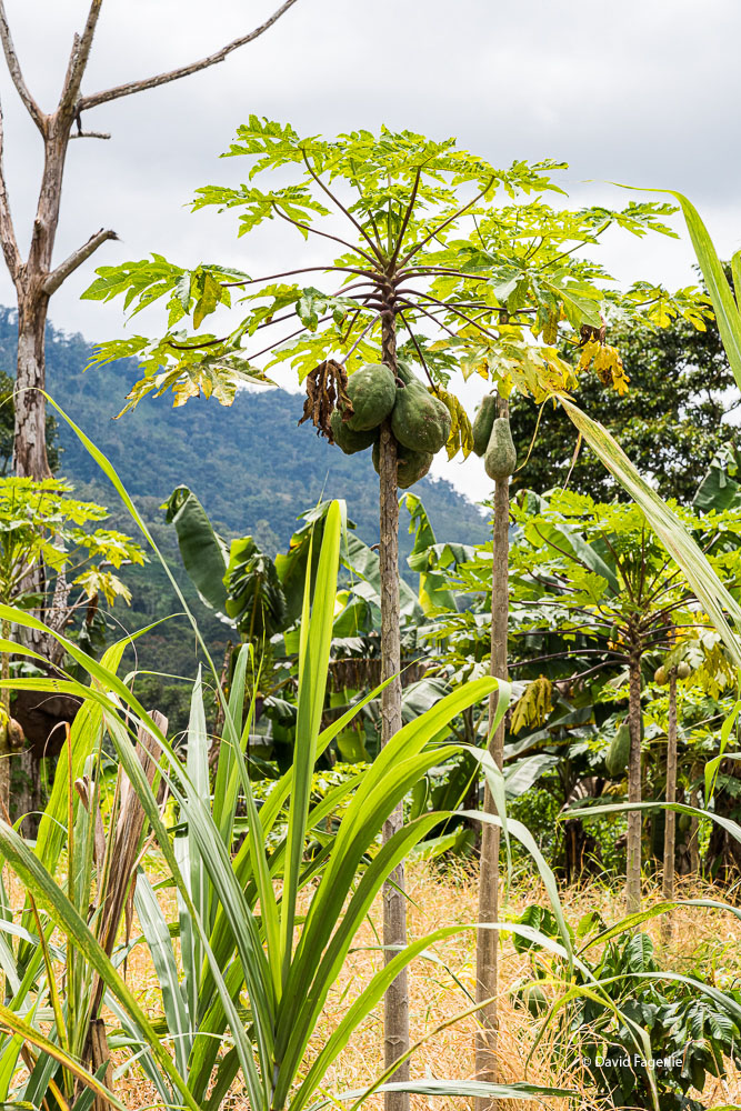
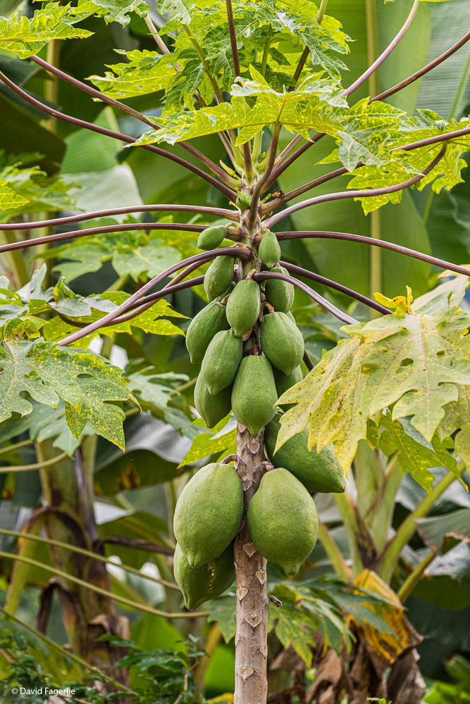
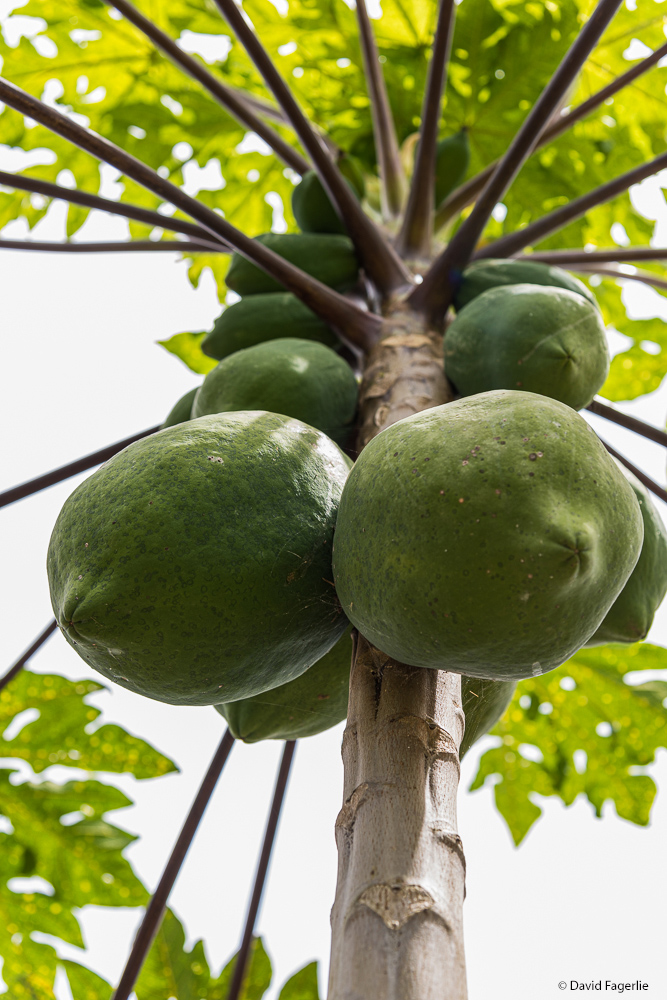
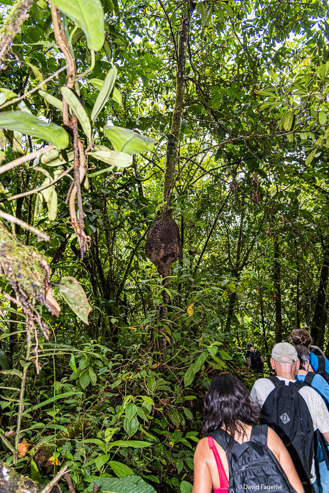
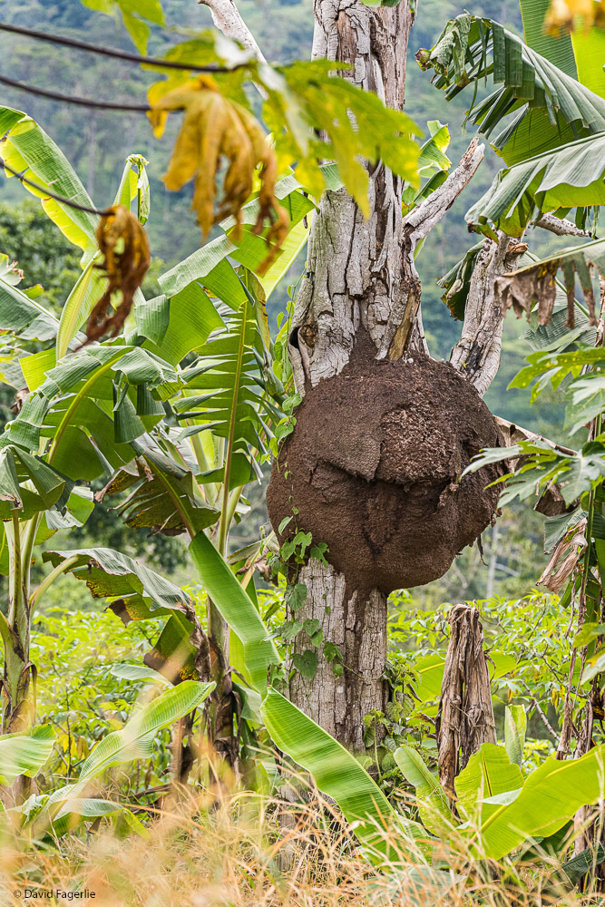
Around Sucúa are both grass lands and intense jungle. In the first photo below are nests of the Caciques bird. There are many sub-species of the Caciques in Ecuador and I don’t know which made these nests? Often these nests are built near a wasp nest to deter predators. Females compete to build a nest closest to the wasps. Check out the papaya!
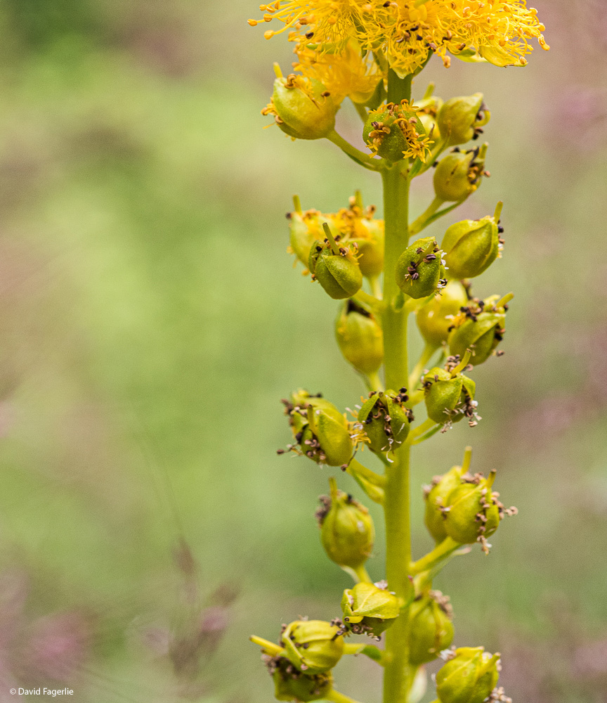
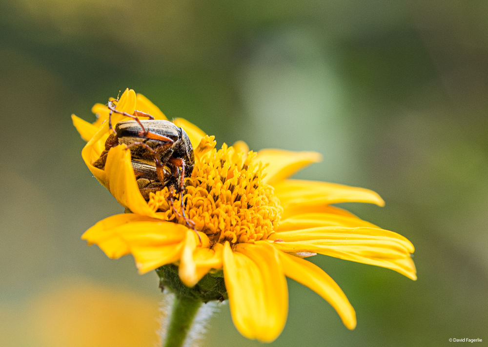
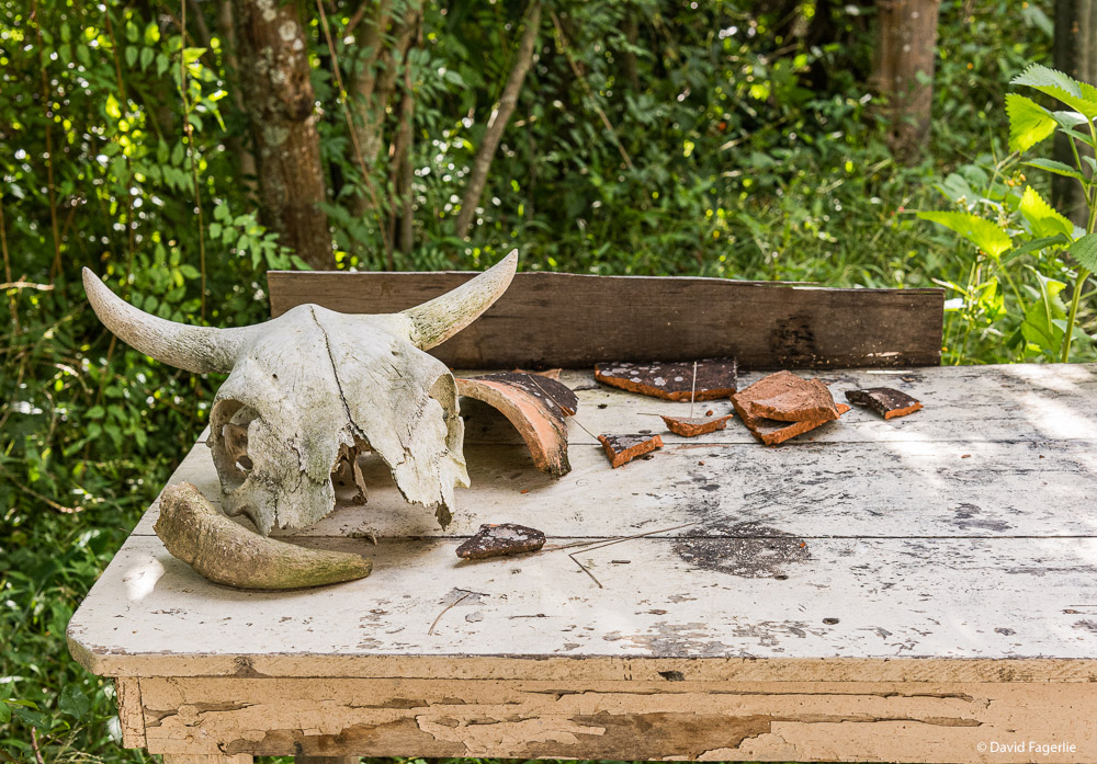
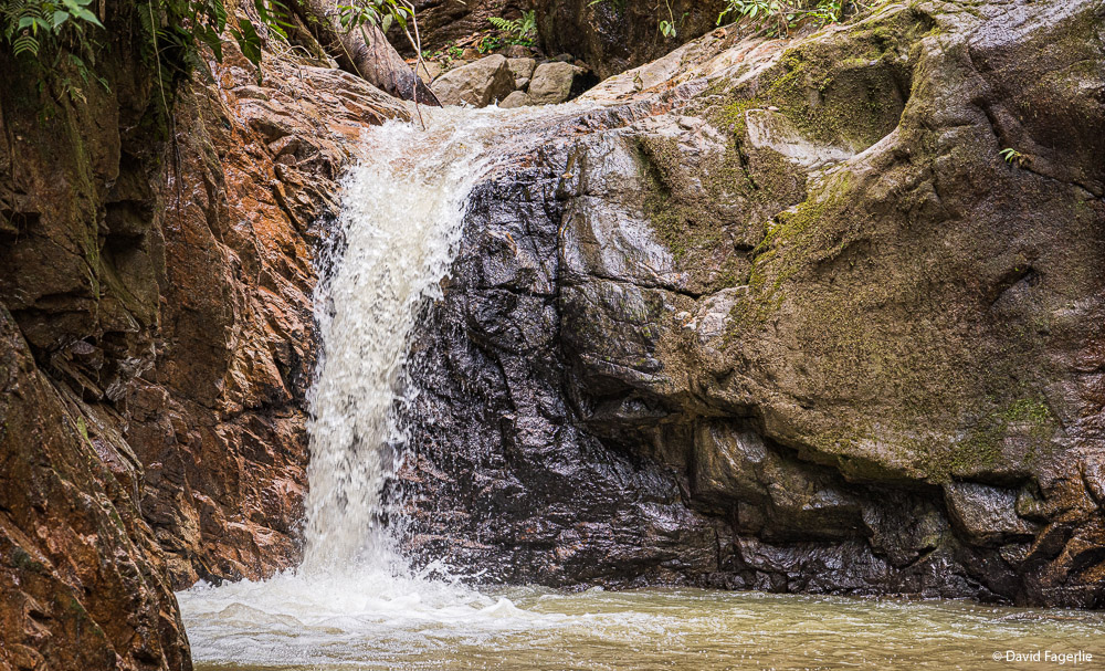
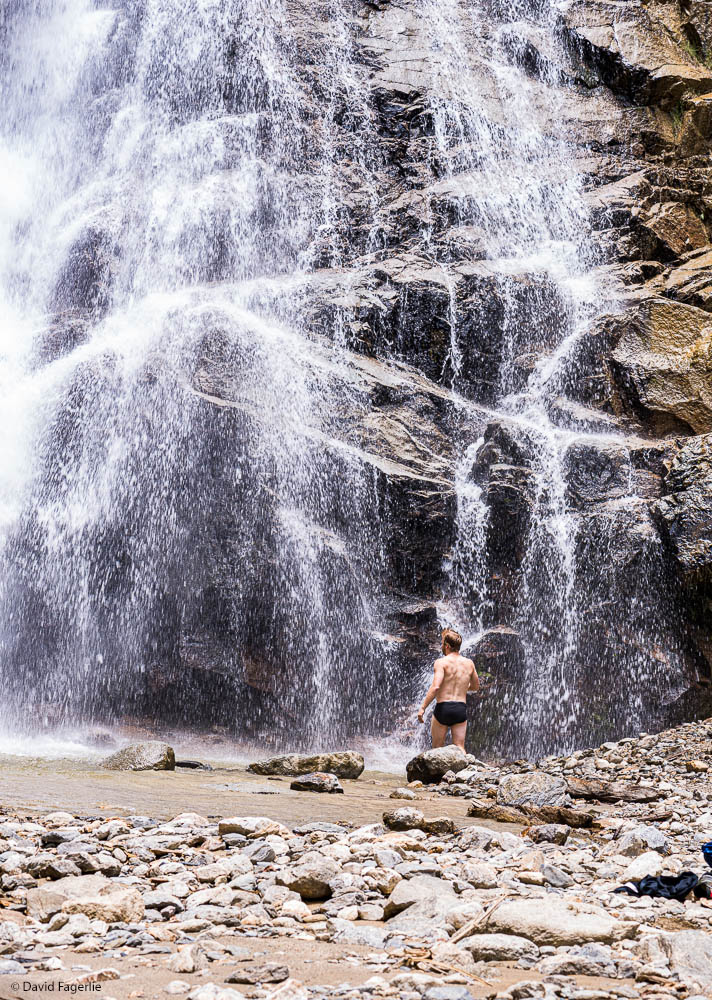
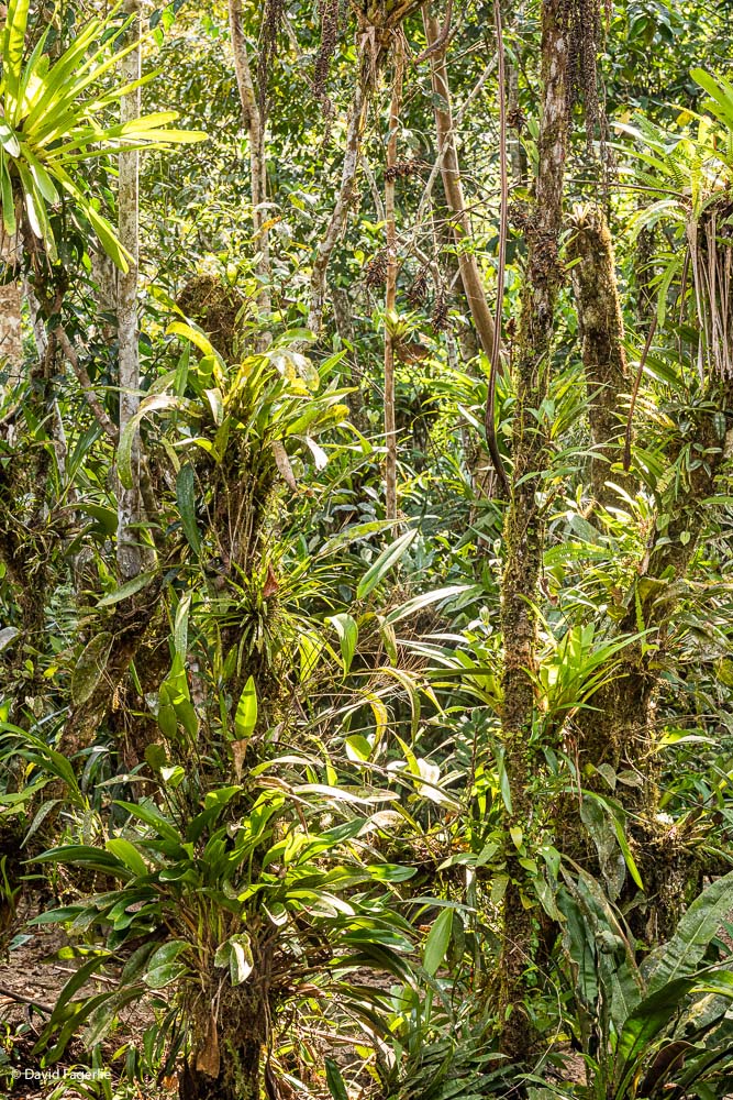
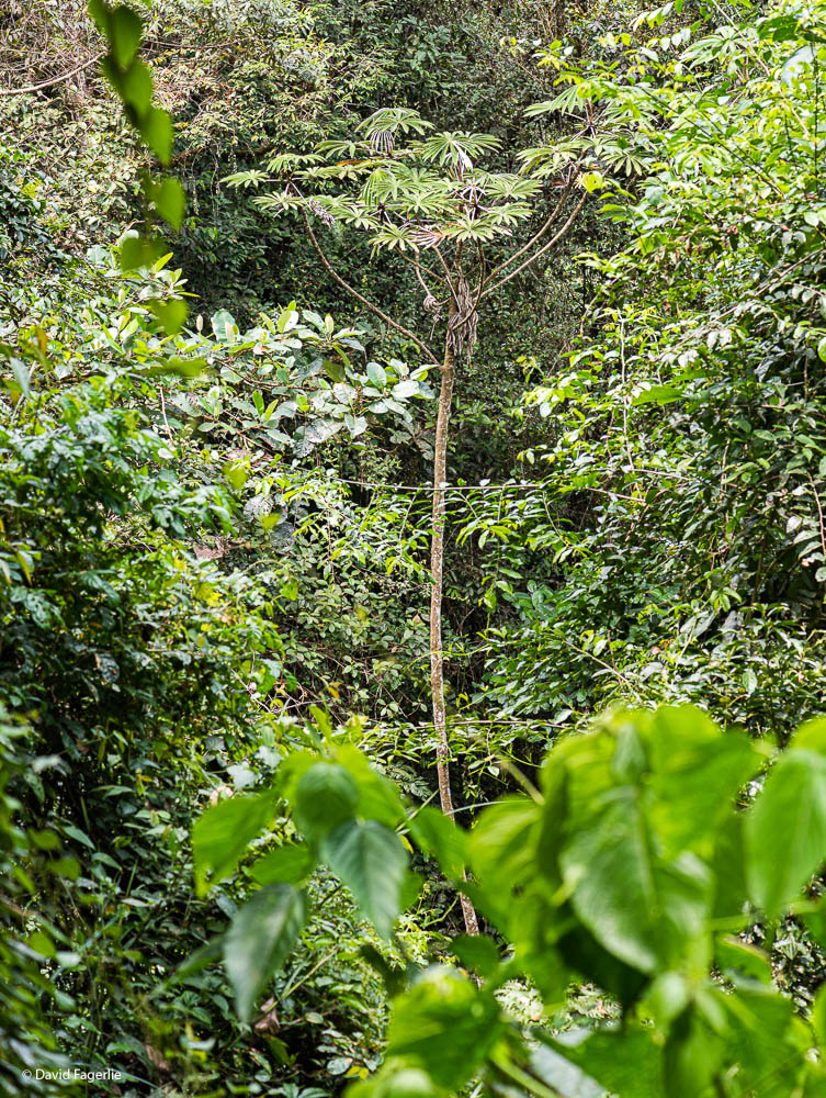
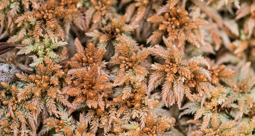
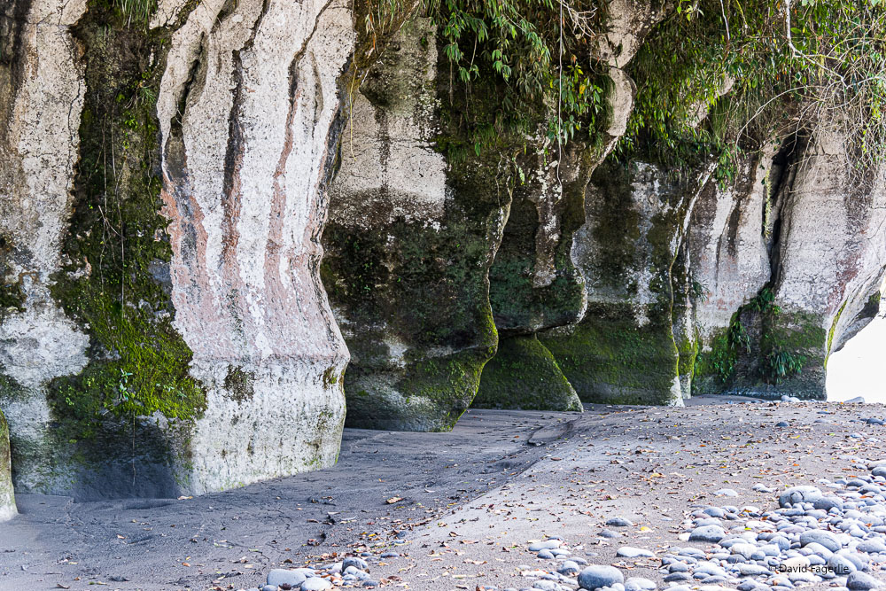
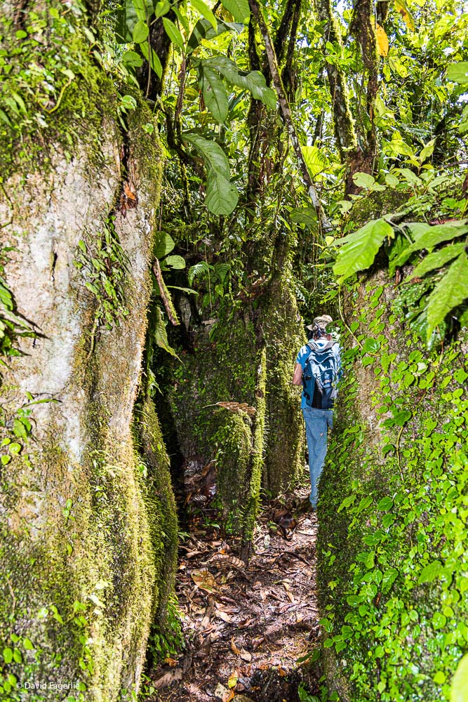
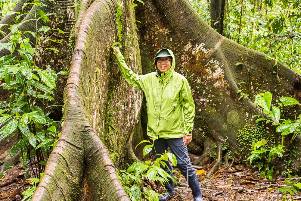
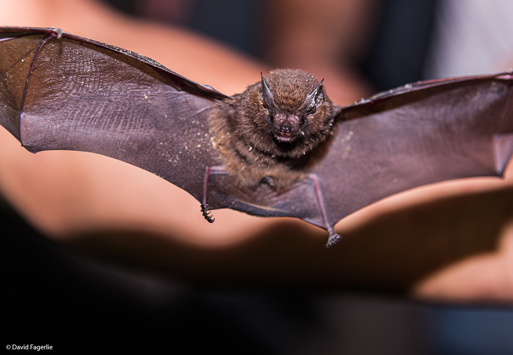
Rock formations similar to those I showed you on the Upono River are dotted about in the jungle. Sometimes a path of travel requires navigating a labyrinth. In a couple of places the rocks created a pathway so narrow that I had to remove my backpack and wiggle through. The jungle has gigantic termite nests, huge tropical trees, fossils from when the area was covered by the sea and bat caves. All in all, very interesting.
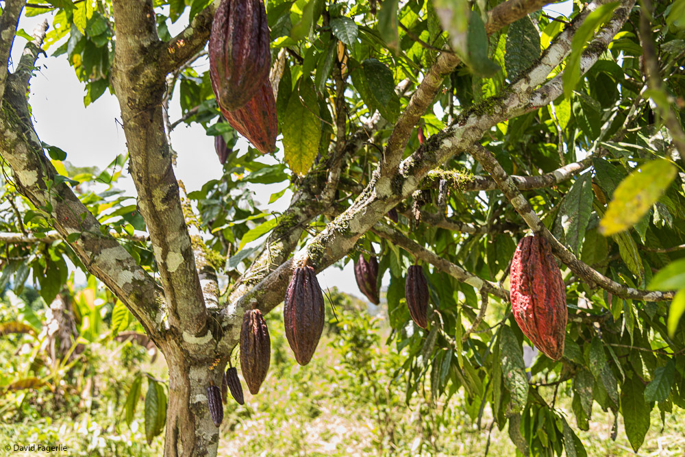
Ecuador cacao is considered by many to be the best in the world. In a worldwide competition, Pacari’s Ecuador based chocolate won first place. My take is that Pacari makes great chocolate bars; but, others make better truffles and the like. Like grape vines for wine, the older the cacao tree the better the product. Old trees are a small portion of the supply so chocolate made from them is sold at a premium. I found old growth chocolate bars in Cuenca for $25 or more. Considering you can have lunch in Cuenca for two or three dollars, $25 is a huge sum. Ecuador also has different growing conditions and soil, depending on location, that yield distinctly different flavors.
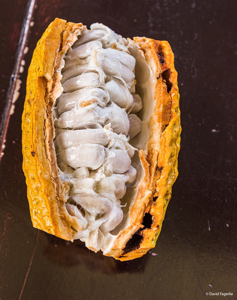
We visited a farm outside of Sucúa that grows coffee and cacao. Cacao was harvested for us and we tried the pulp inside of the pod, which tasted a little like chocolate, and fresh coco after that.
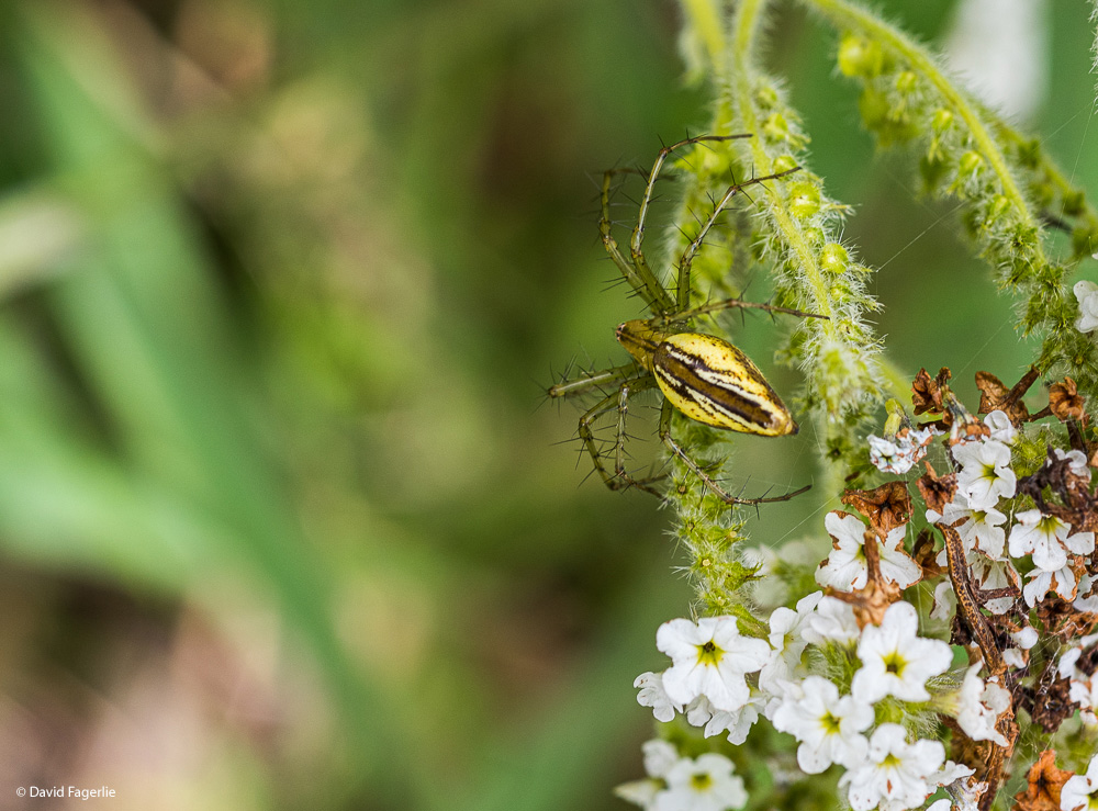
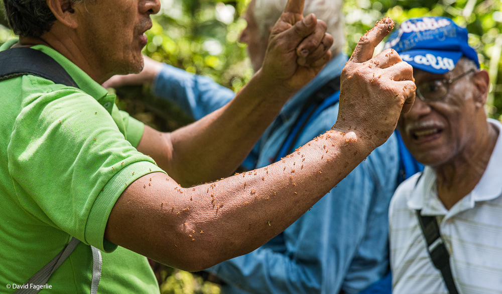
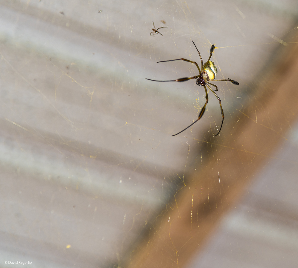
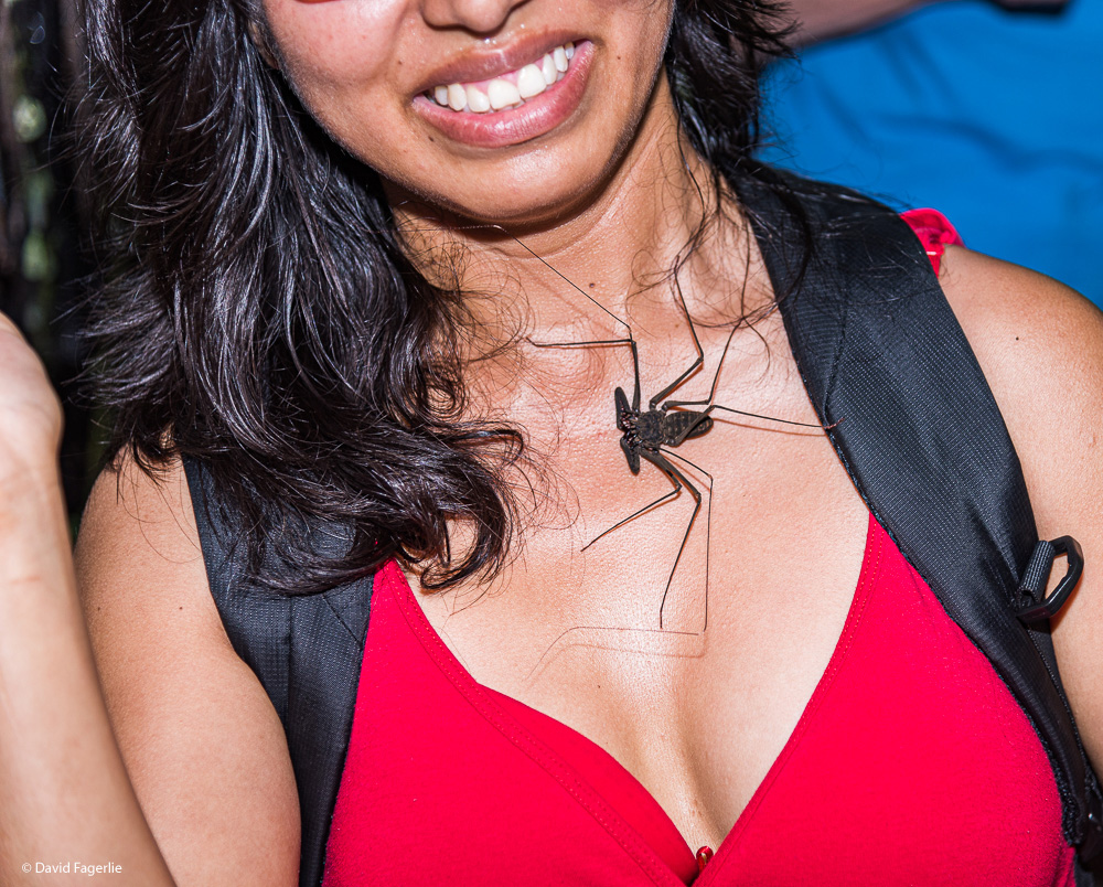
We came across Banana Spiders where humans congregate and Whip Spiders on the trails; both are quite large.
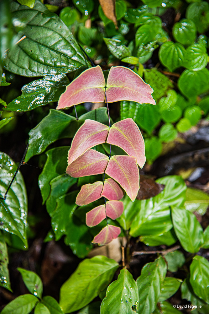
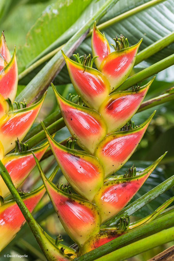
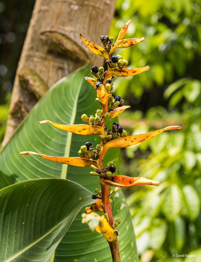
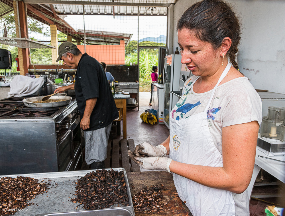
Some photos from around the farm.
Higher resolution images are available by accessing this chapter’s gallery by clicking HERE. Remember, when going to the gallery click on the first image and then you can make the images full-screen by clicking on the rectangular button in the upper right. Move between images by using your arrow keys on a computer or by swiping back and forth on your tablet or smart phone.
Next week we head uphill and we will stay at higher elevations for the remaining chapters in Ecuador. Have a great week.
May 20, 2021
Chapter 1: Three places in the lower sierra
We are heading uphill again.