Ecuador, Part 7: Quito
Chapter 3: Big City Life and the Virgin
Located at 2,850 meters (9,350 feet), Quito is the second highest capital city on earth (second to La Paz, Bolivia) and closest to the equator. Quito is located in the Guayllamba river basin on the eastern slope of the volcano Pichincha. The historic center of the city was designated a UNESCO World Heritage site in 1978; it is one of the best preserved historic cities in the Americas. The city center is 25 kilometers south of the equator but the edge of the city is within one kilometer of zero latitude. The name of the country, Ecuador, is Spanish for equator.
The oldest traces of humans in Quito were excavated in 1960. Quito’s earliest residents were hunter-gatherers and tools excavated were dated as far back as 8000 BCE.
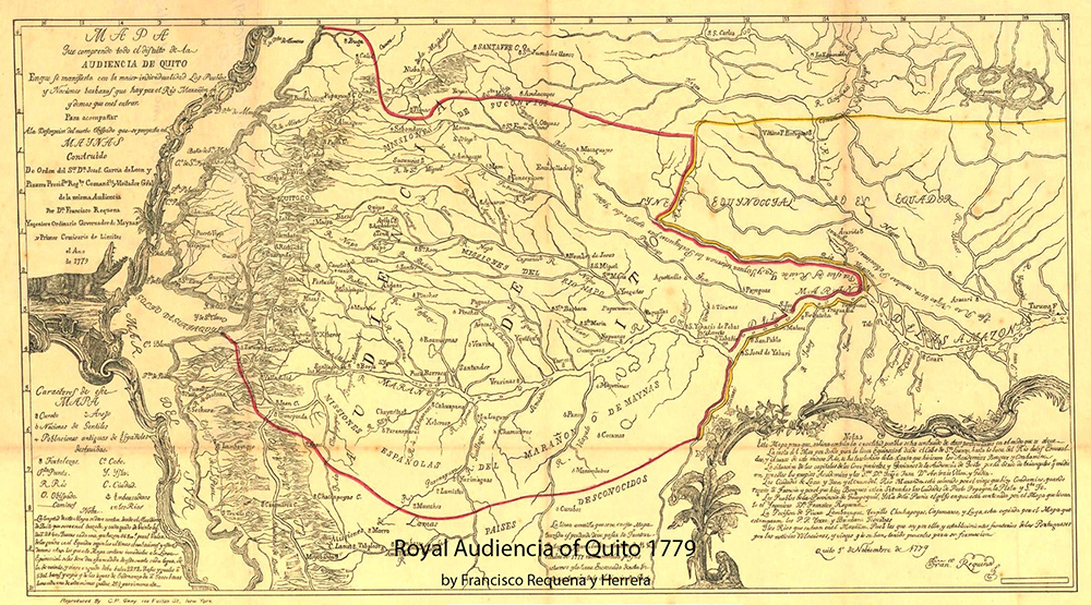
“In 1563 Quito became the seat of a Real Audiencia (administrative district) of Spain. It was classified as part of the Viceroyalty of Peru until 1717, after which the Audiencia was part of the new Viceroyalty of Nueva Granada. Under both Viceroyalties, the district was administered from Quito.” – Wikipedia
By 1743, after 210 years of Spanish rule, Quito had about 10,000 inhabitants.
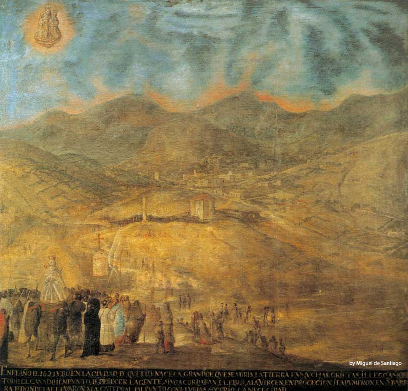
Painting of a distant view of Quito in the mid-18th century (low resolution only)
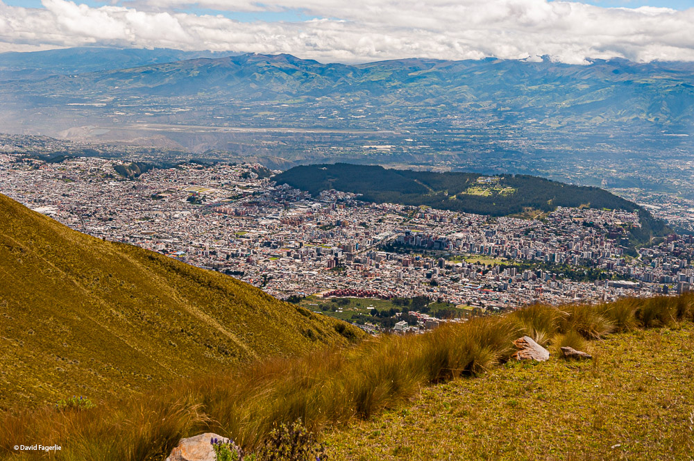
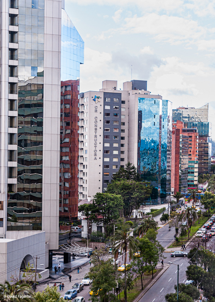
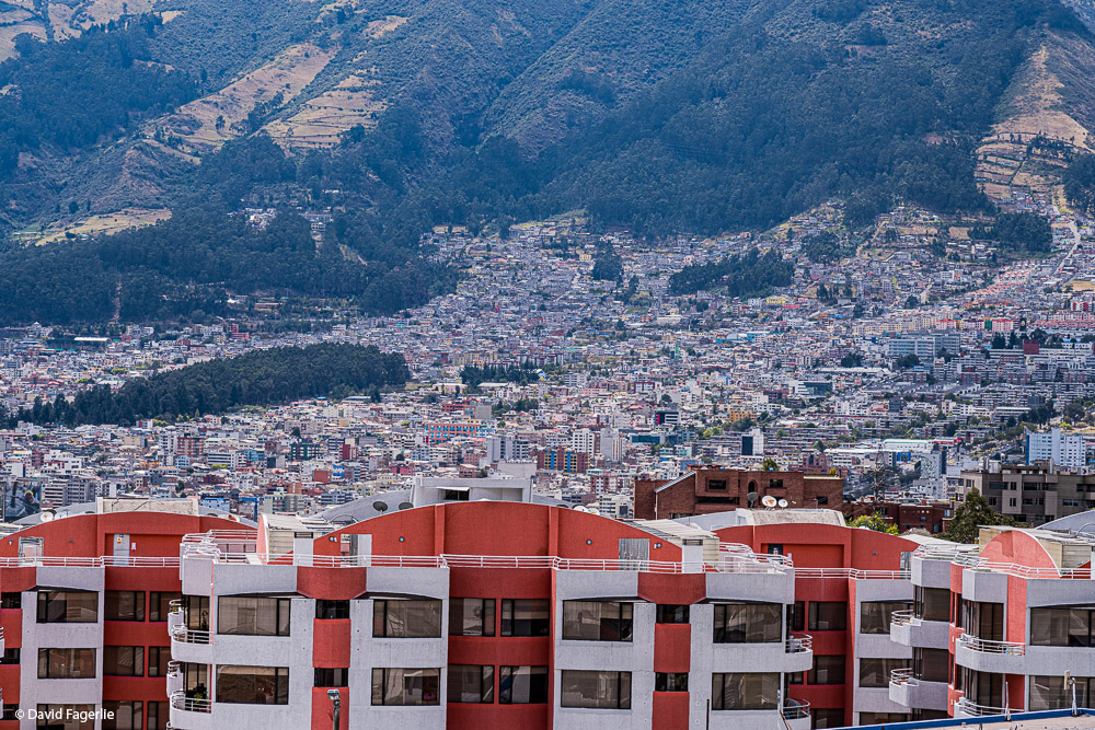
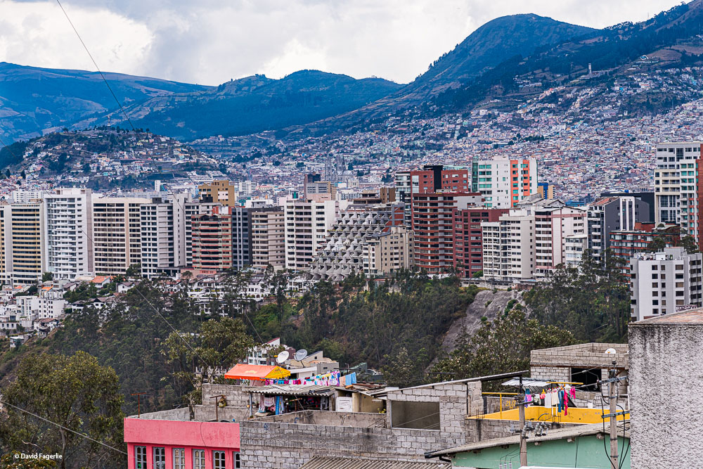
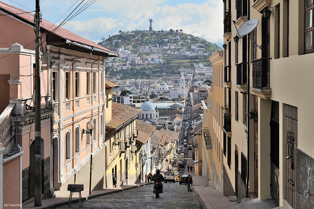
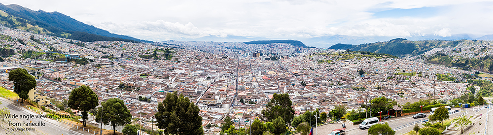
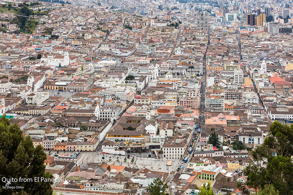
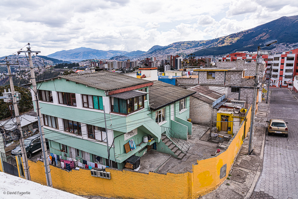
In 2020 the population of Quito was 2,011,388, second in size to Guayaquil, an industrial city near the coast. However, Quito is growing and will surpass the population of Guayaquil sometime in the coming years. There are expats in the Quito area; however, most do not live in the city. Instead, they live in a valley nearby. One reason for this is safety. Only one time did I feel unsafe in Quito and I was able to exit that situation quickly; however, Quito does have safety issues. It is wise to know where you can go and what practices are safe, such as how to obtain safe transportation. Approaching Quito from the south the valley I mentioned can be seen from a roadside viewpoint.
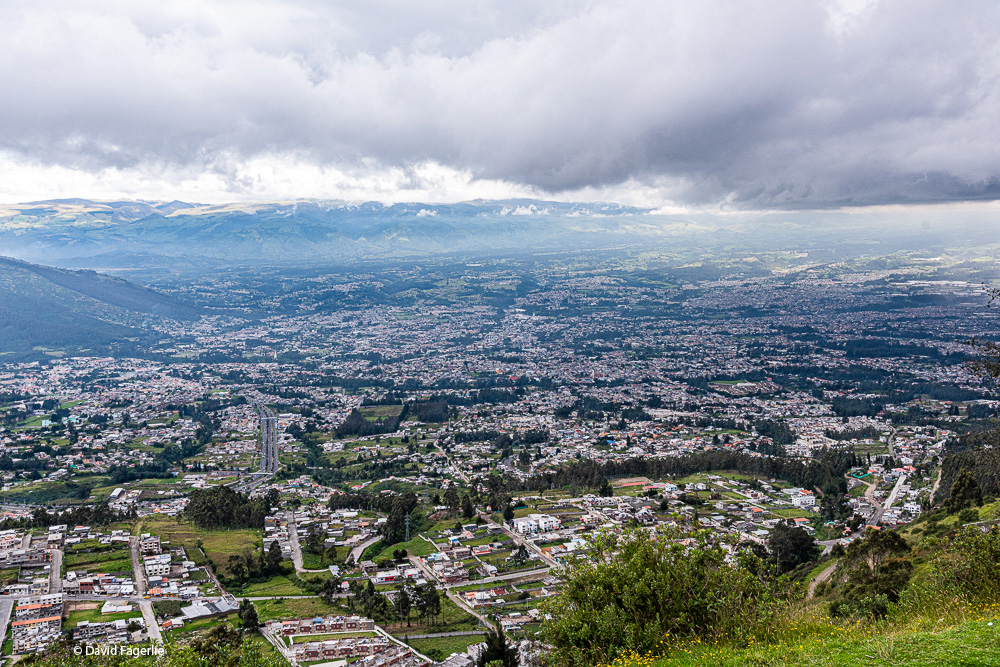
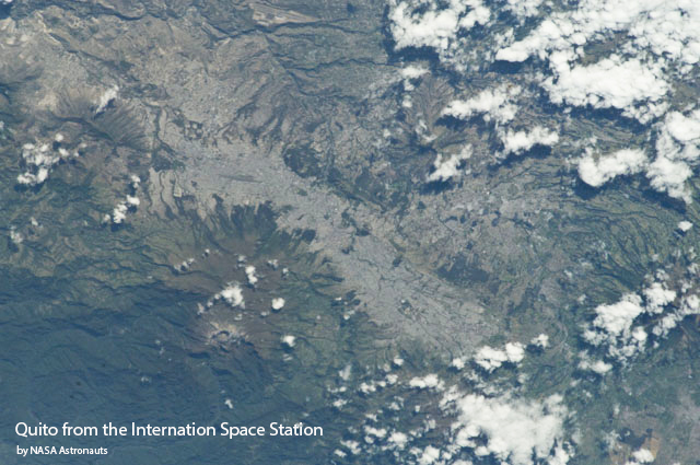
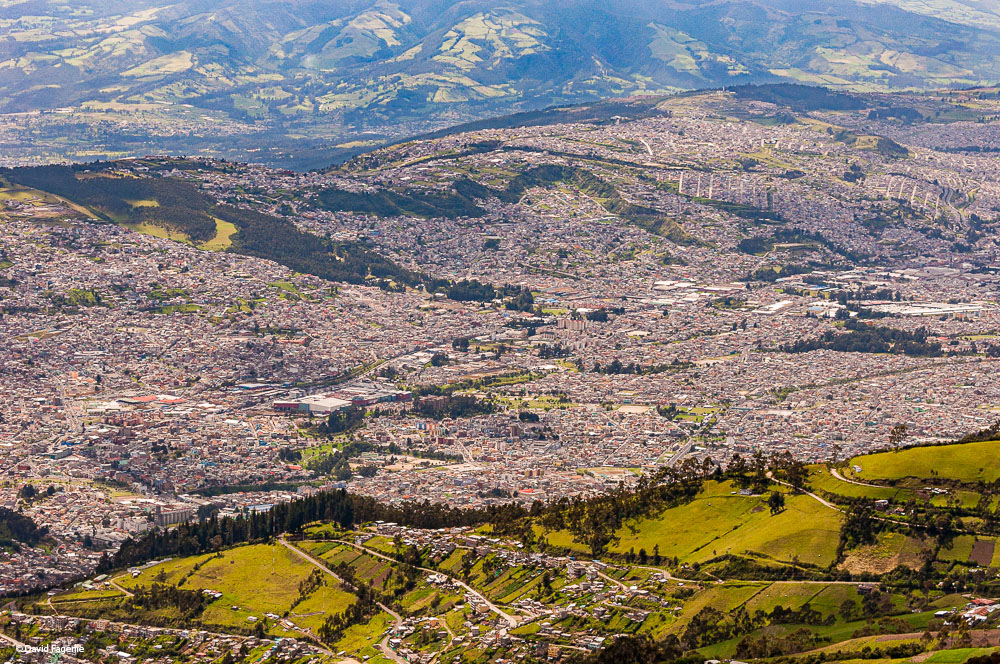
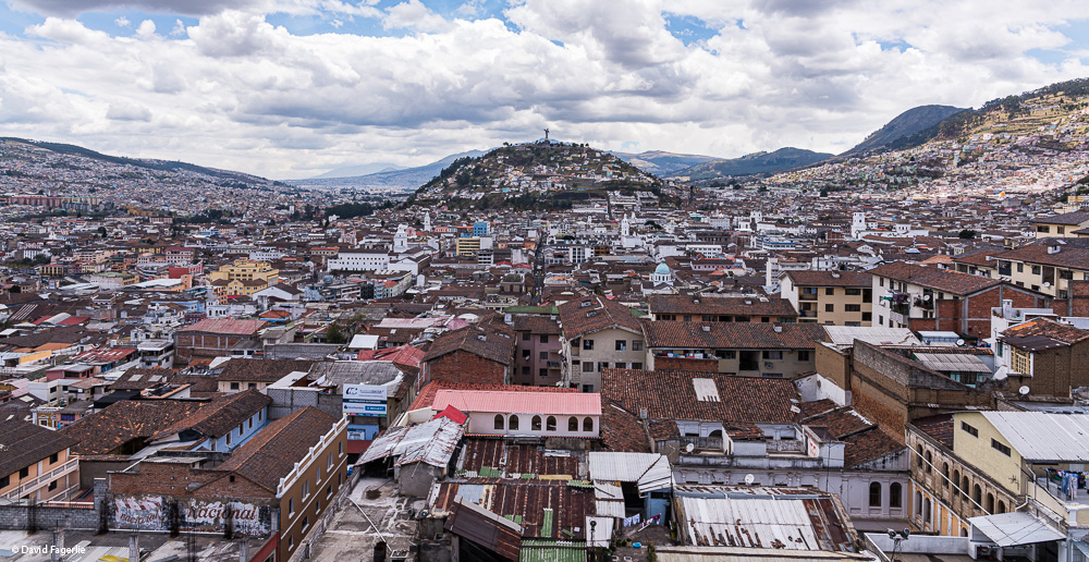
The city of Quito is a cigar shaped mass that runs south to north with volcanoes on both sides.
This view of Quito from space is low resolution only.
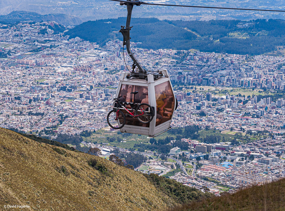
A fun adventure and a good way to perceive Quito’s size and position is to ride the TelefériQo from the edge of the city center up the east flank of Pichincha. “It is one of the highest aerial lifts in the world, rising from 3,117 m (10,226 ft) to 3,945 m (12,943 ft). The ascent takes about twenty minutes, traveling 2,237 linear metres.” – Wikipedia


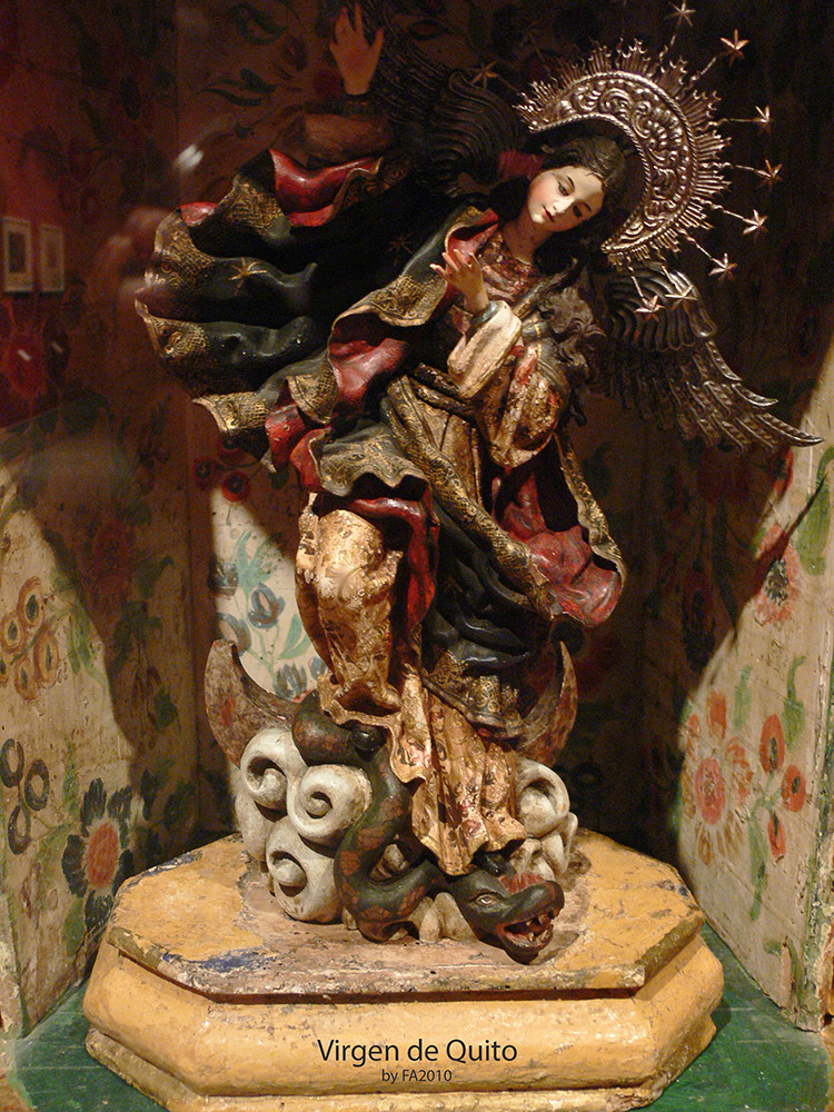
“The Virgin of Quito (Spanish, La Virgen de Quito) — also known as the Virgin of the Apocalypse, Winged Virgin of Quito, Dancing Madonna, and Legarda's Virgin — is a wooden sculpture by the Quiteño artist Bernardo de Legarda (ca. 1700-1773) which has become the most representative example of the Quito School of art, developed in the Ecuadorian capital during the Spanish colonial era. This particular Virgin became a popular cult image which is still venerated — via innumerable replicas — throughout the northern Andes.” – Wikipedia. The original work was created in 1734.
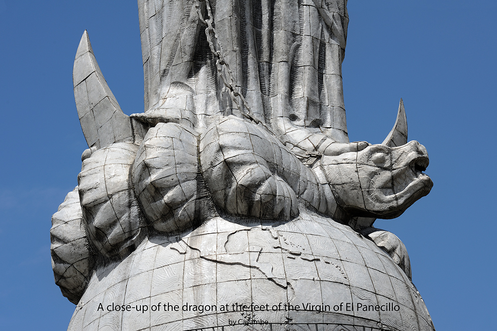
The 120-centimeter-high sculpture is derived from the biblical description of the Woman of the Apocalypse. As described in the Revelation of Saint John (12:1-2), the woman was “clothed in the sun.” She has a crescent moon under her feet and a silver diadem bearing 12 stars is on her head.
“After battling a dragon — i.e., Satan, with the apple of original sin in his mouth — she has trampled and subdued the beast with a heavy silver chain which she holds loosely in her open hands. She has been given silver wings for escape. Probably influenced by 16th century European prints, such as that of Albrecht Dürer’s Revelation series, the “dancing” Virgin seems to float and gestures with open hands to her right amid an abundance of flouncing folds conveying both flight and ecstasy. Her mantle is of deep blue and bears silver stripes at the bottom. According to Michael Handelsman, unlike the fair-skinned European Virgins, she clearly has the facial features and coloring of a mestiza.” – Wikipedia
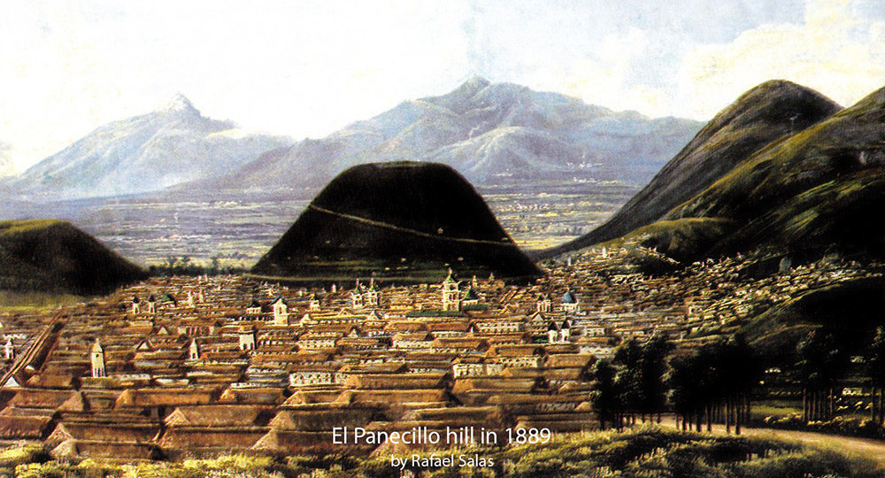
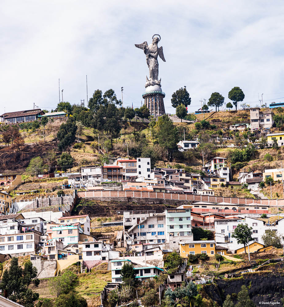
In the 1950s, local authorities and religious leaders agreed that El Panecillo, a loaf-shaped, 656-foot-high (200 meters) hill in central Quito was the perfect place to erect a statue. Here is a painting of El Panecillo hill in 1889.
City leaders decided that the statue would be a large replica of the Virgen de Quito. Plans were formalized in 1969 with construction beginning in 1971. The base of the statue took three years to complete, mostly due to financial setbacks from the choice of expensive volcanic stone cladding to cover the concrete. For the statue, the committee turned to Agustín de la Herrán Matorras. From his studio in Madrid, he designed and built a 98-foot tall winged virgin using 7,400 pieces of aluminum. The statue was disassembled and reconstructed on the base at El Panecillo hill.
“The statue was inaugurated in 1975. With a total height of 135 feet (41 meters) including the base, it was and still is the highest statue in Ecuador and one of the highest in South America—taller than Christ the Redeemer in Brazil. It also ranks as the tallest aluminum statue in the world, and the largest winged statue of the Virgin Mary.” – Atlas Obscura
The Virgen de la El Panecillo is often called the Virgin of Quito, which was the name that I knew it by.
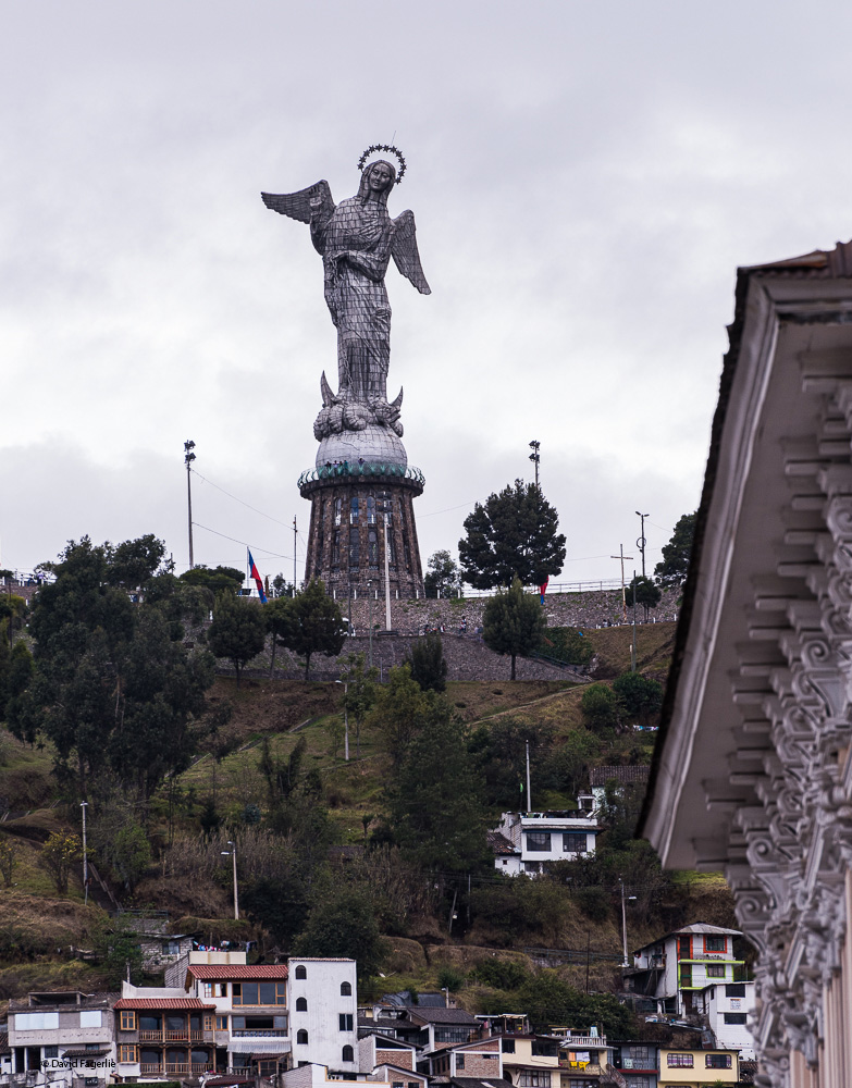
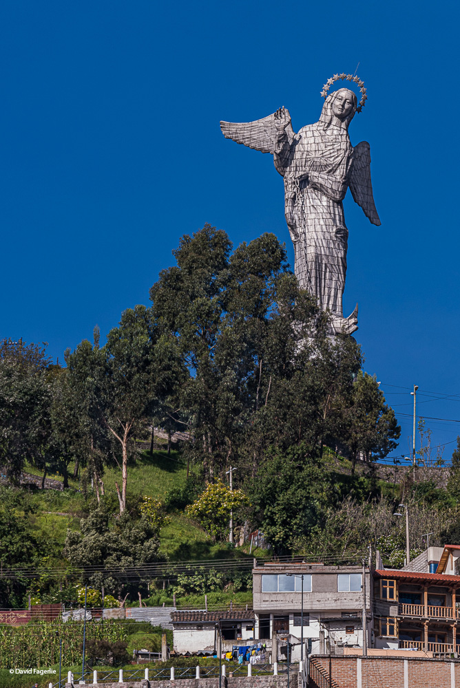
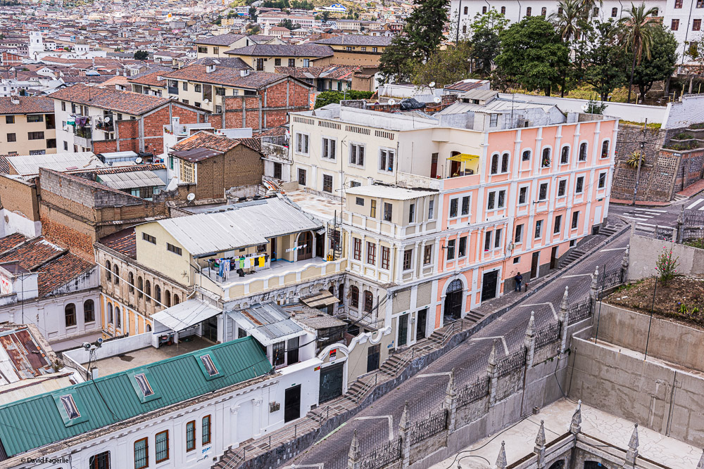
From the center of town, getting to the virgin is a taxi ride. It is unwise to hail a taxi from street-side. I could have had my hotel arrange safe transportation; on reflection, I wish I had. Here are some photos of what the Virgin sees.
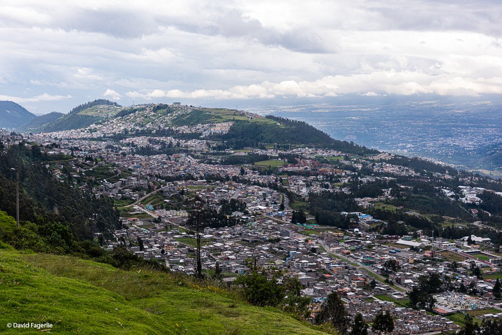
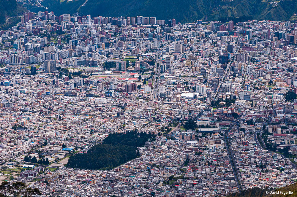
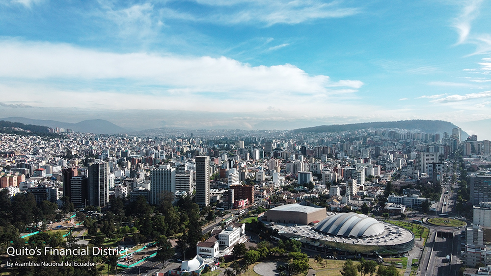
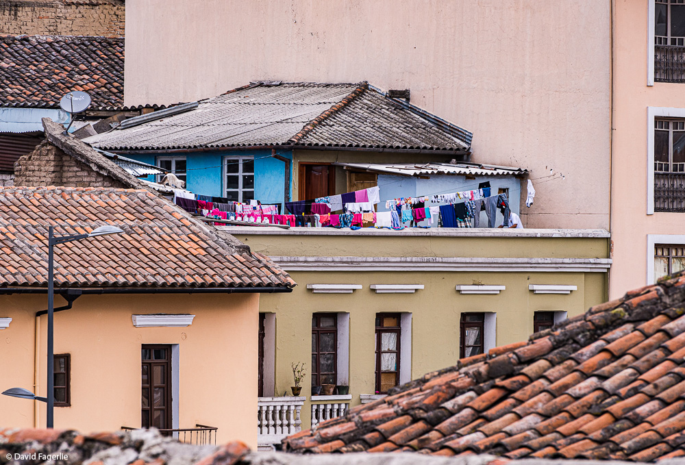
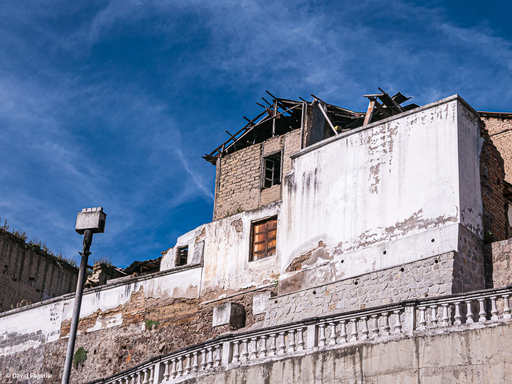
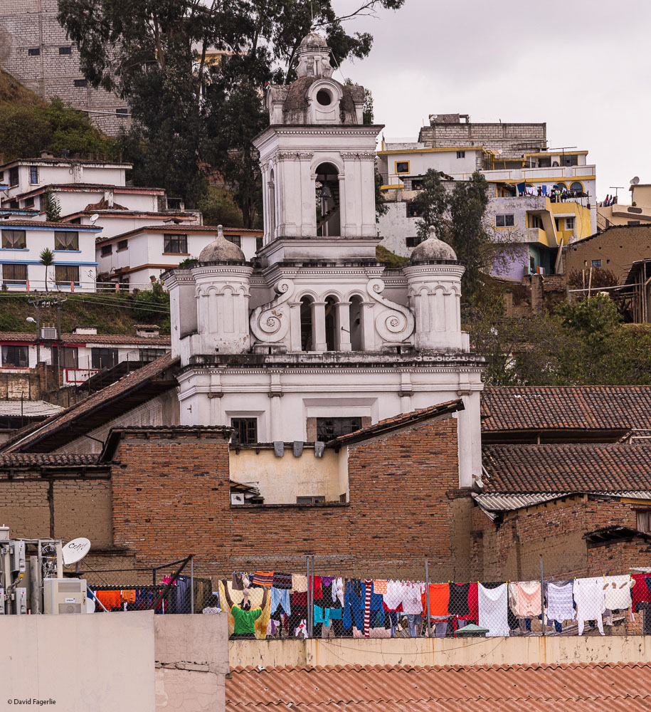
More images of Quito.
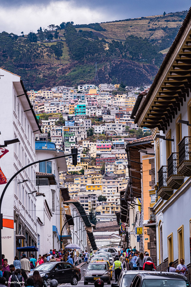
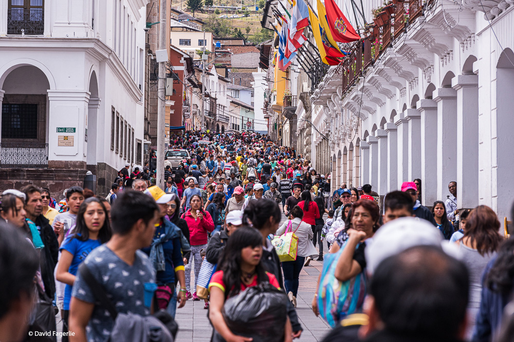
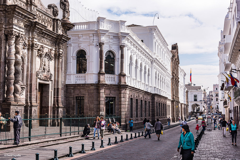
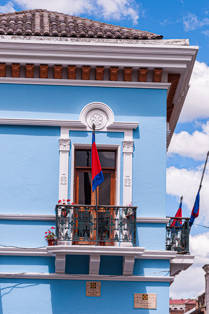
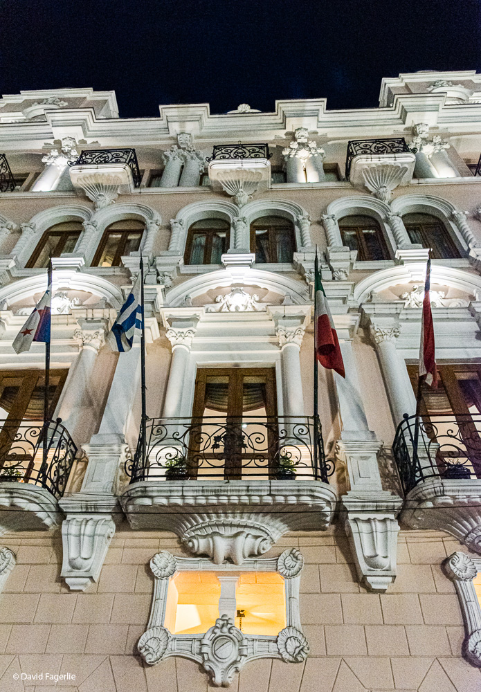
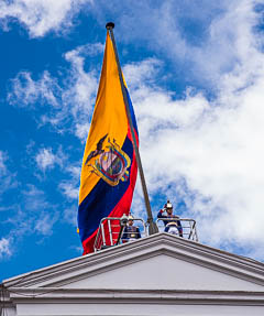
Plaza de la Independencia (Indepence Square), more commonly referred to as Plaza Grande, is at the center of Quito’s historic district. Around it are beautiful buildings including churches and Palacio de Carondelet (Carondelet Palace). There are restaurants and coffee shops galore surrounding the plaza.
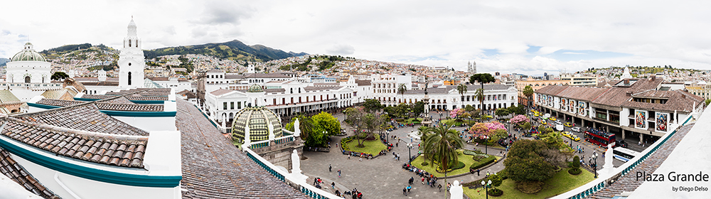
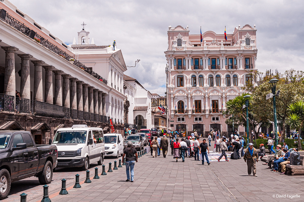
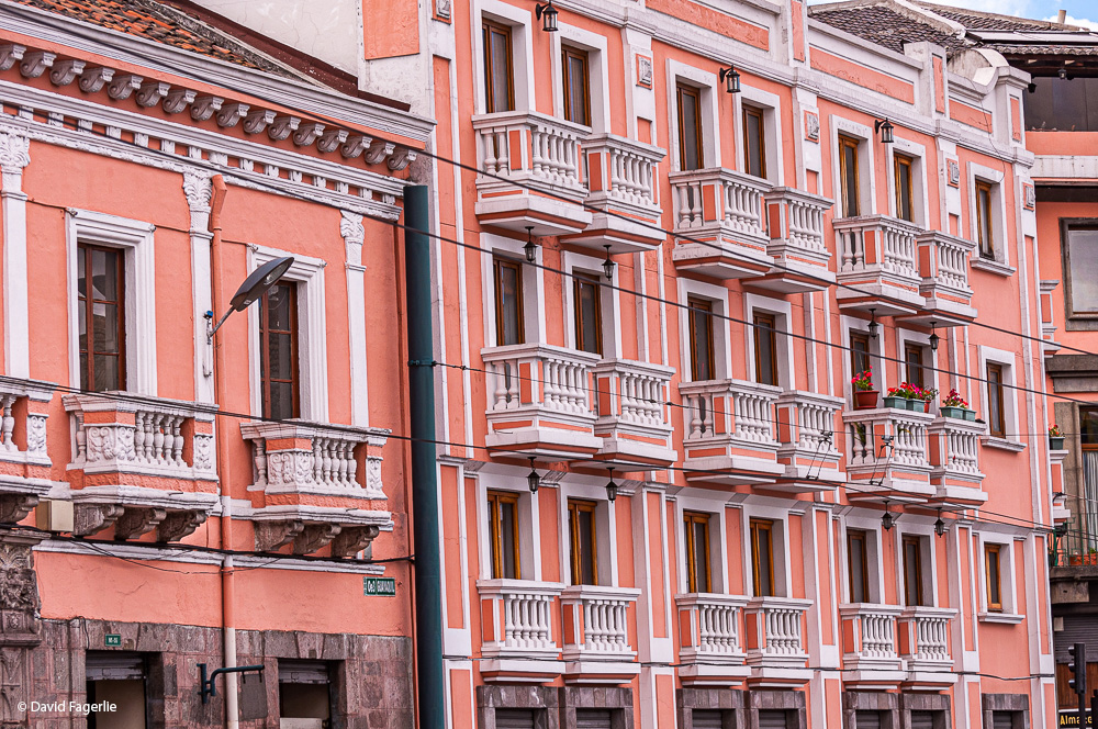
More images in the historic district, some around and in the plaza.
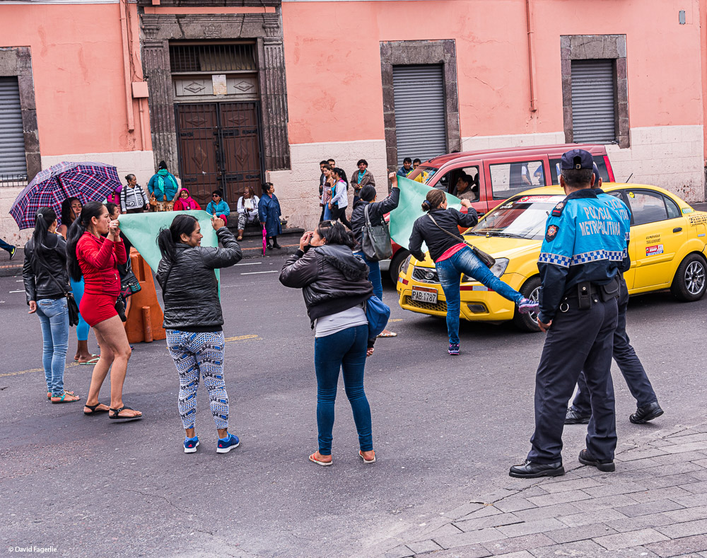
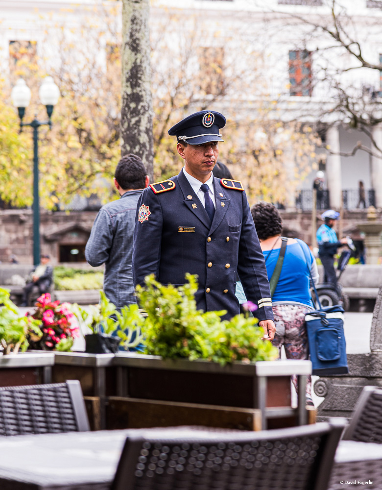
One day I caught a view of a protest in the plaza. It seems to me that in Ecuador protesting is in the fabric of life. In the five years that I lived in Ecuador there was always some kind of protest going on. Almost all protests are peaceful, accommodated by watchful police and accepted by Ecuadorians.
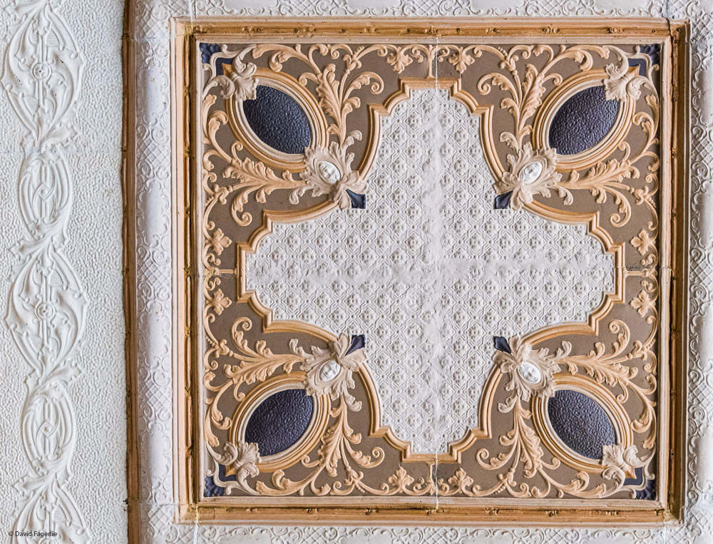
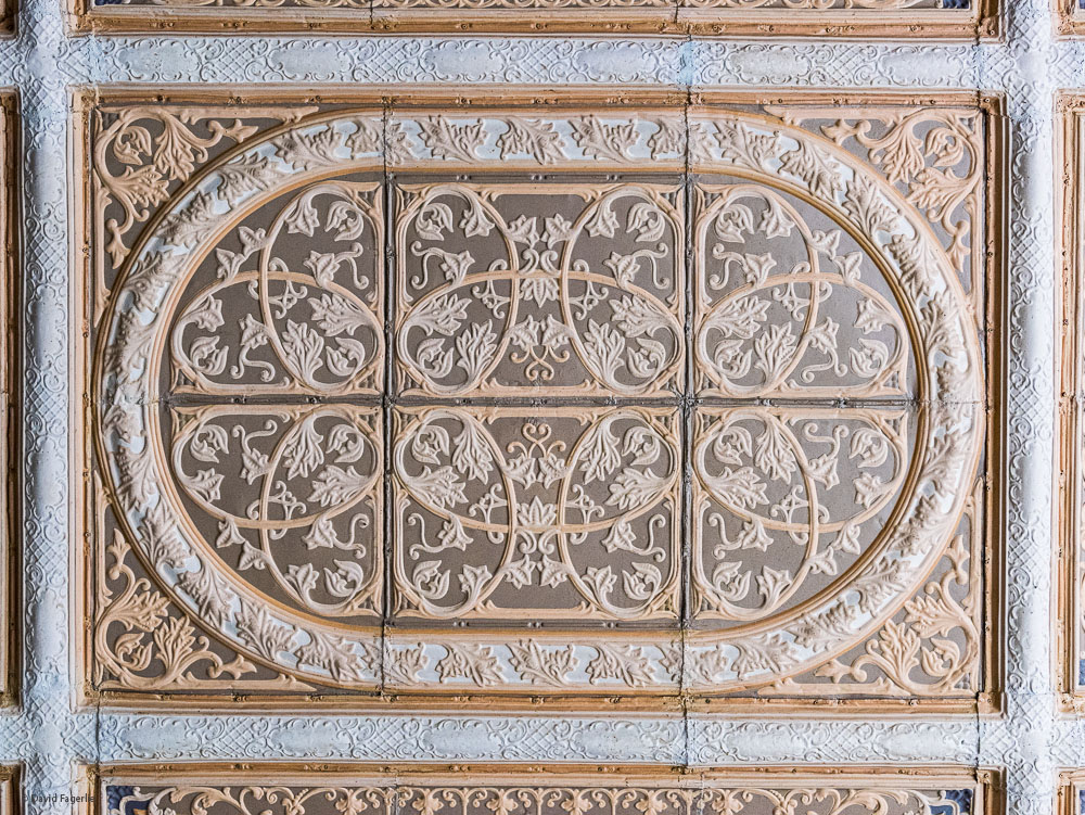
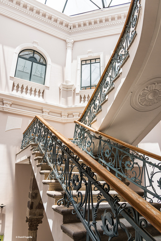
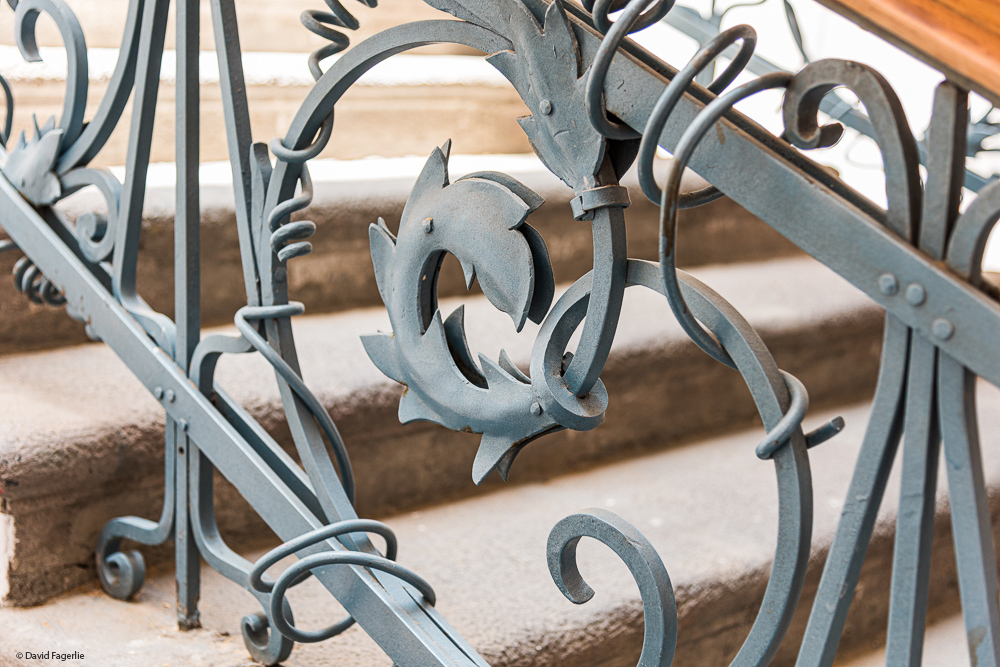
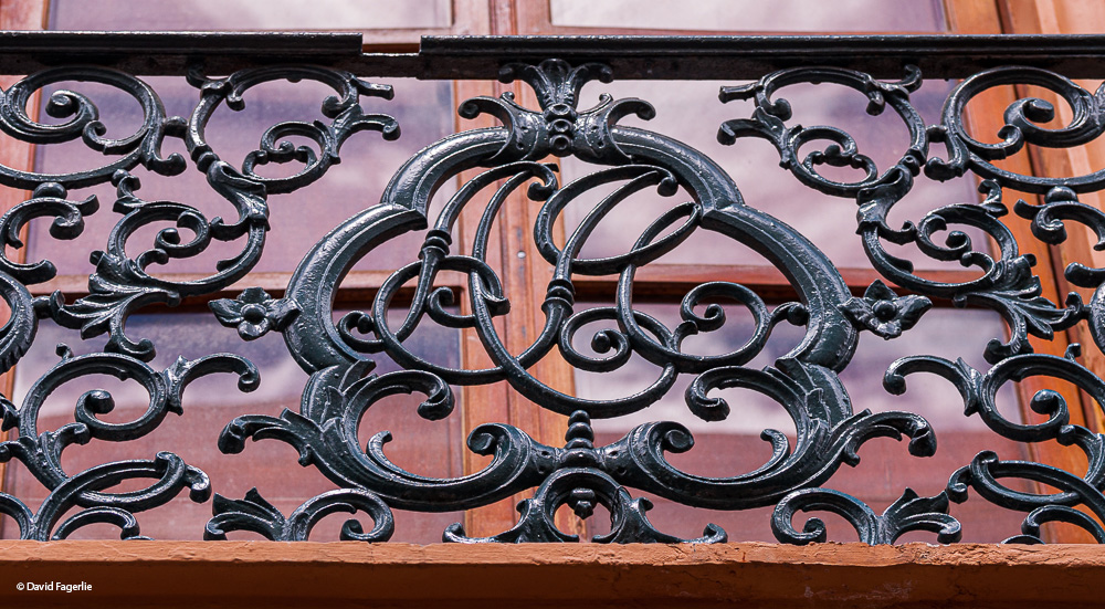
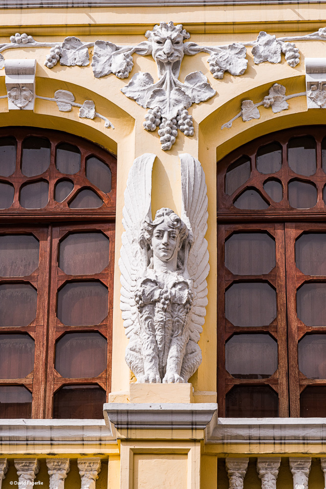
The design work inside some of the historic buildings is quite beautiful.
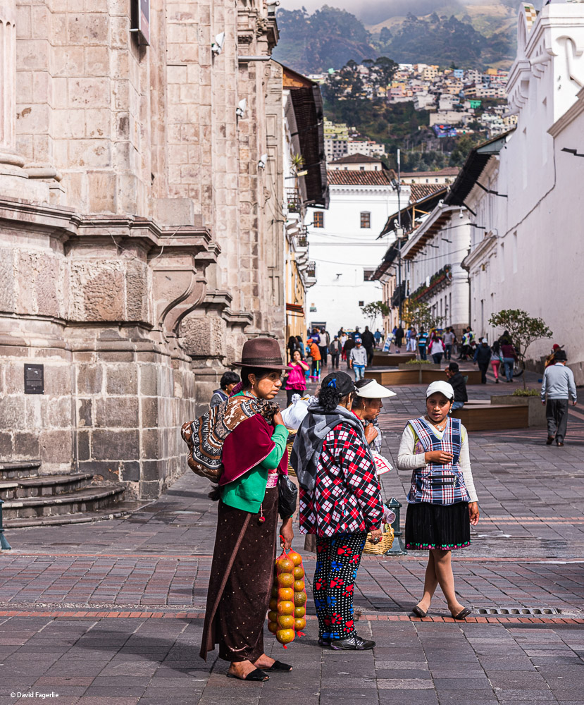
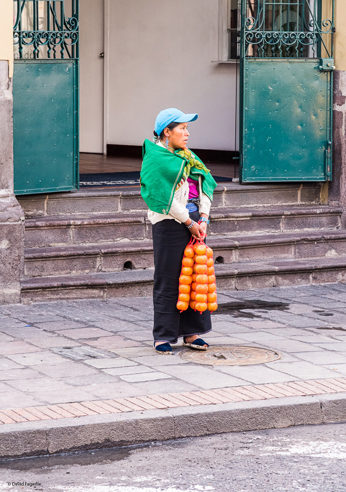
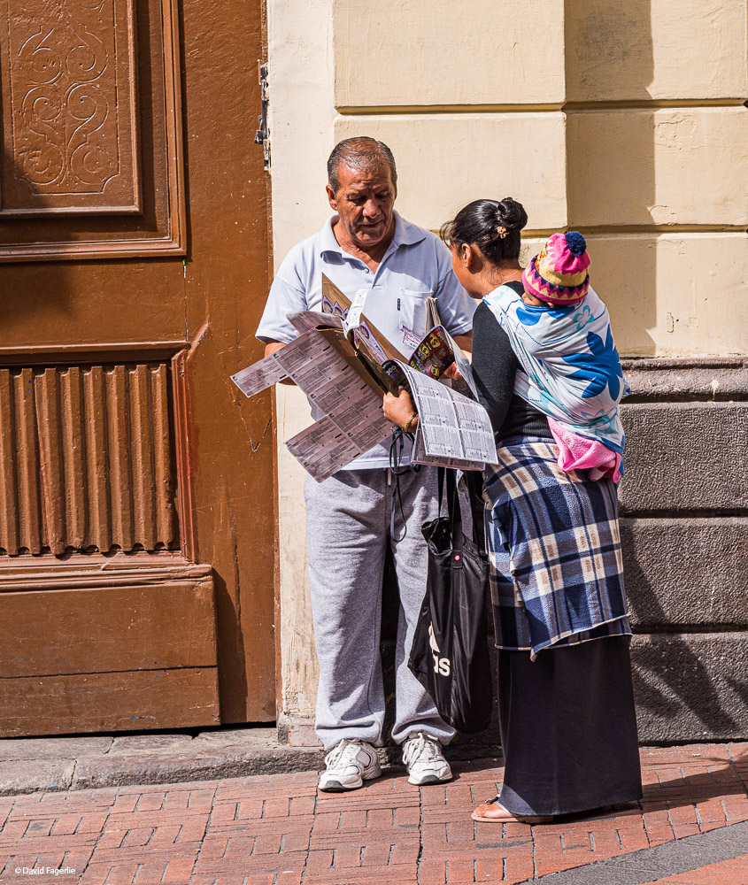
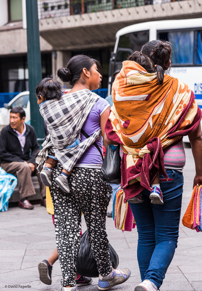
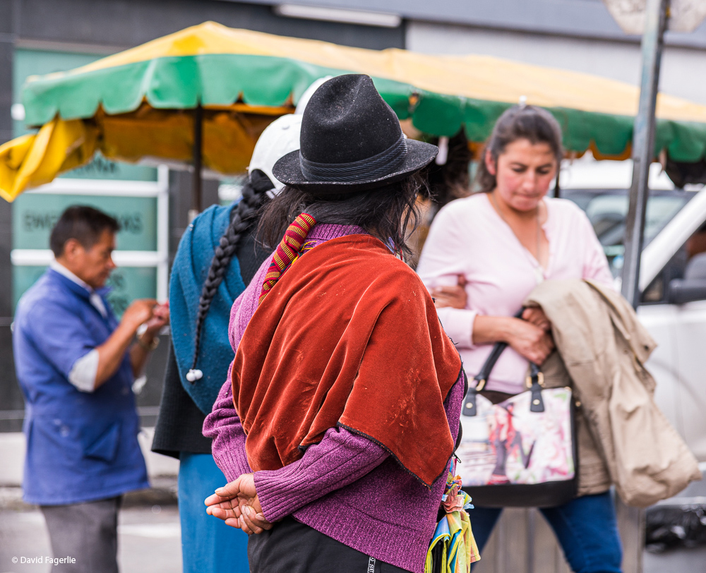
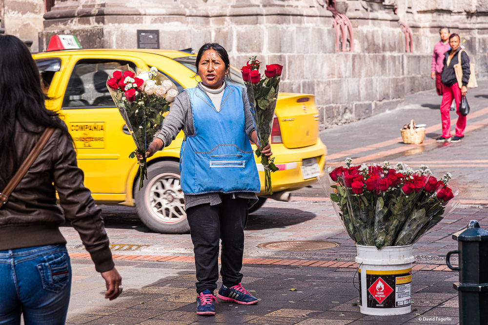
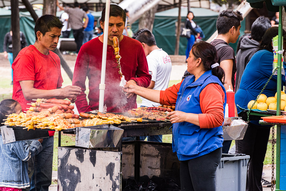
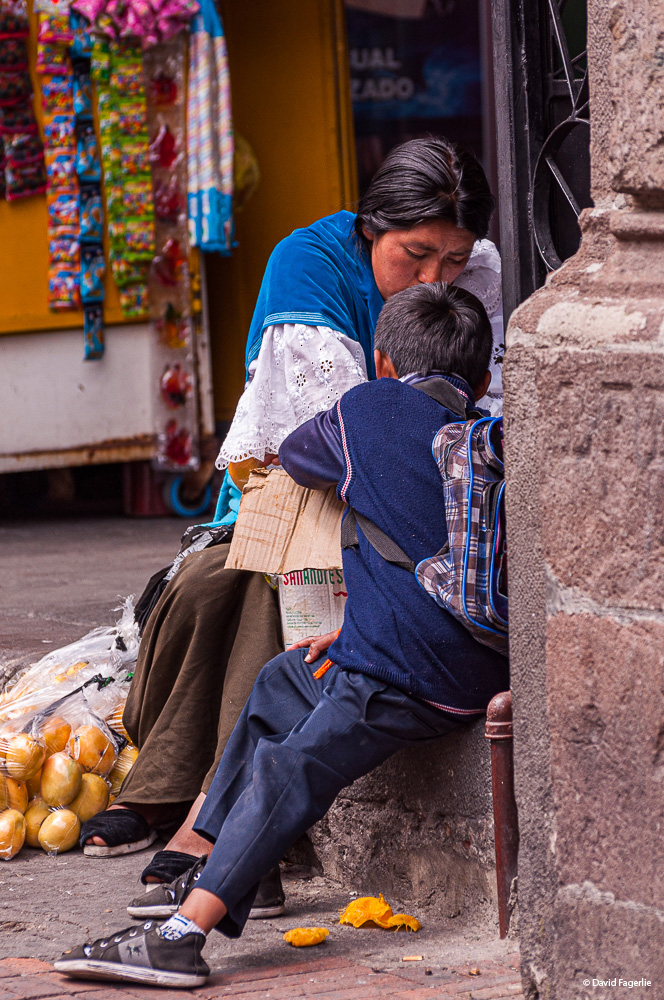
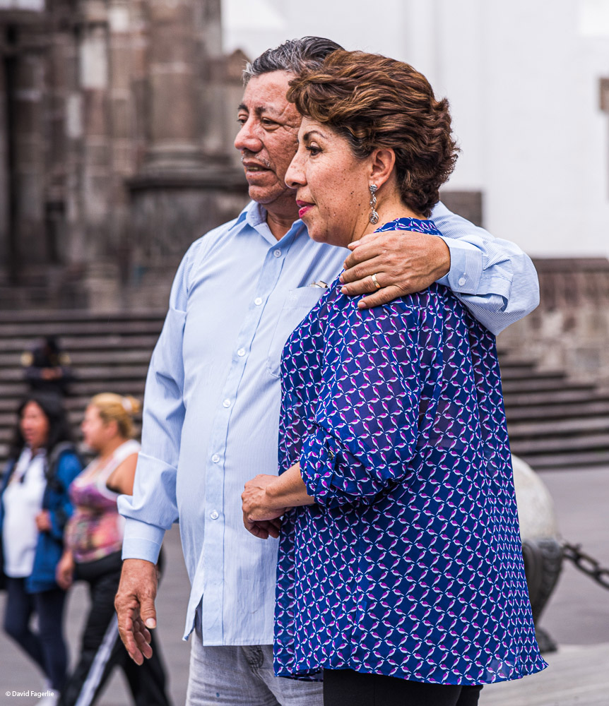
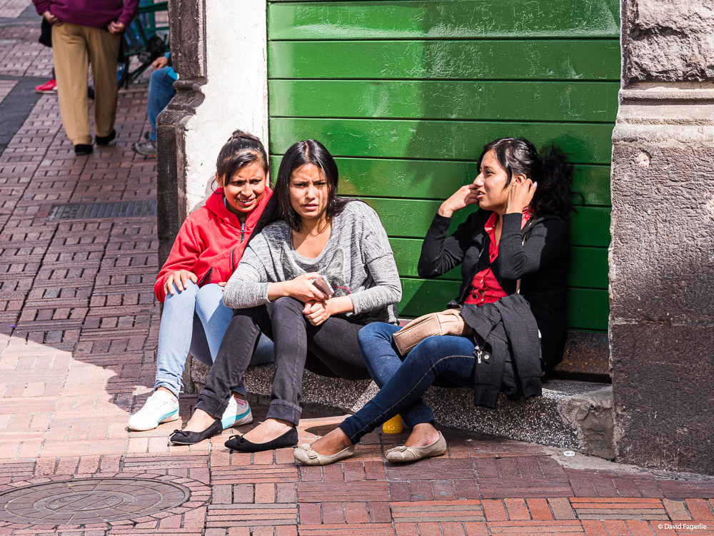
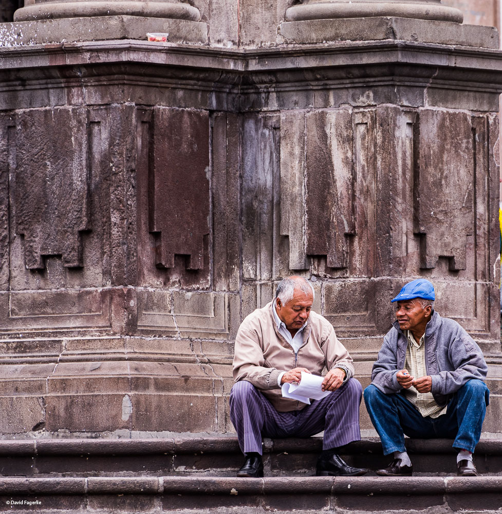
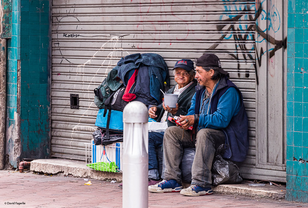
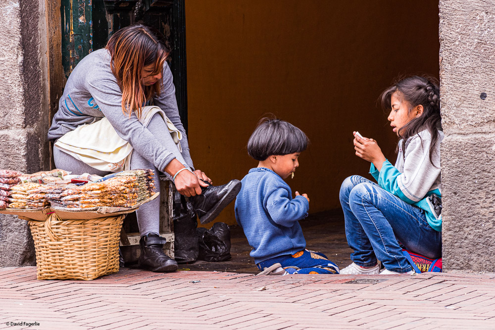
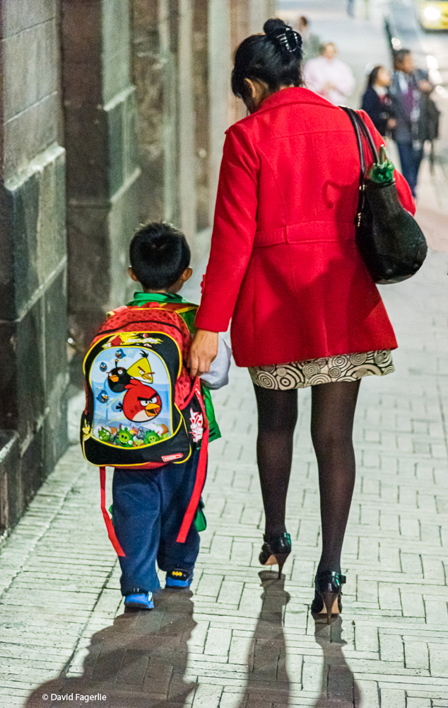
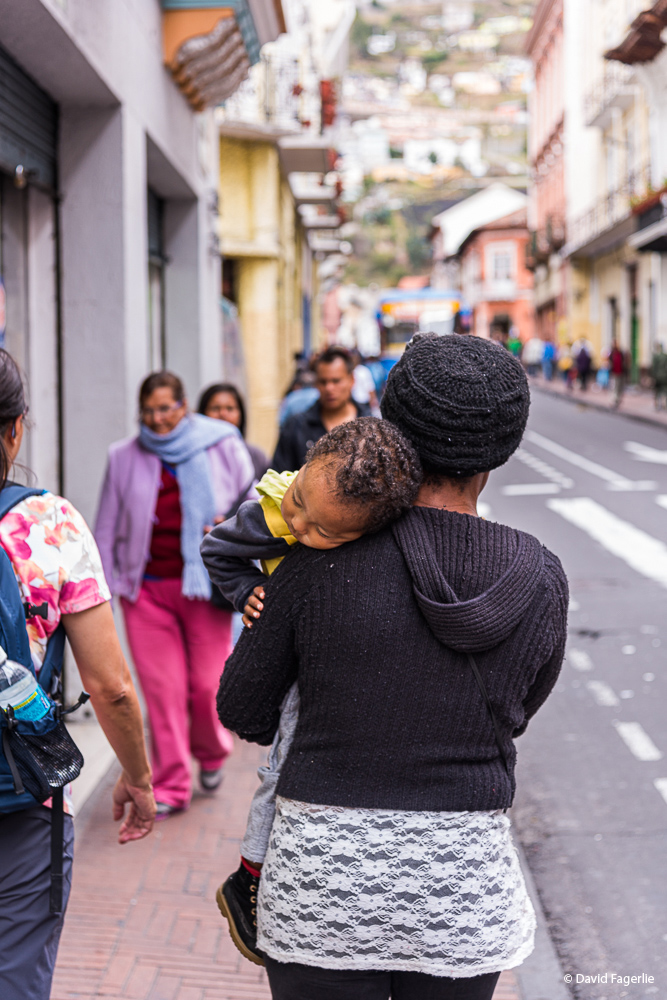
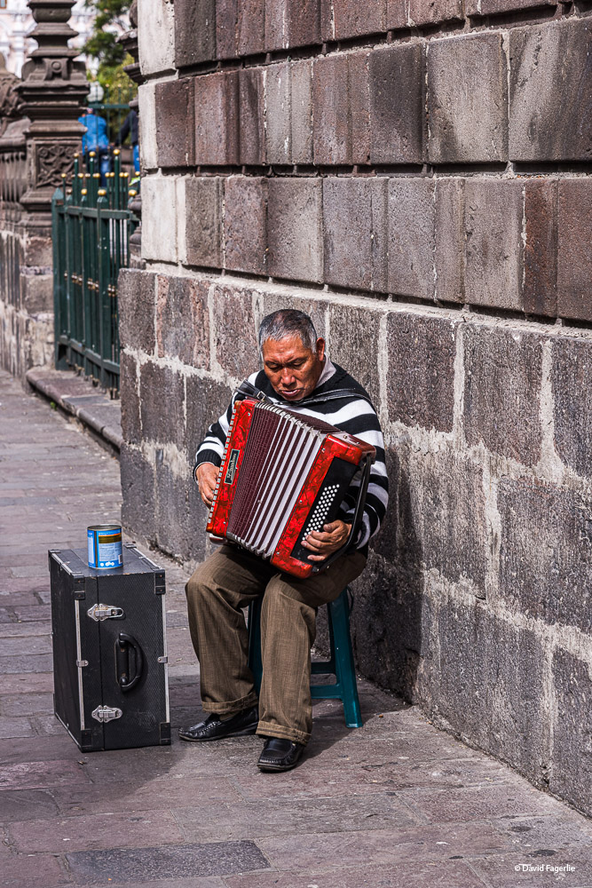
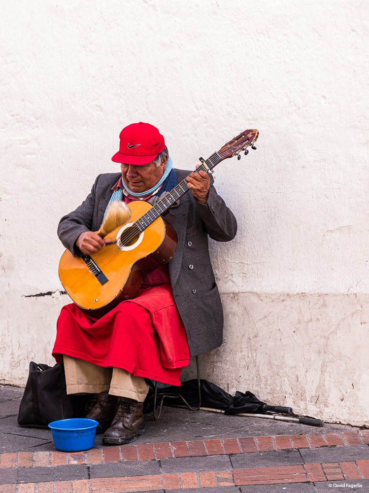
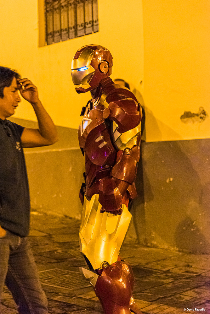
I love to watch the street life of Quito, especially at Plaza Grande.
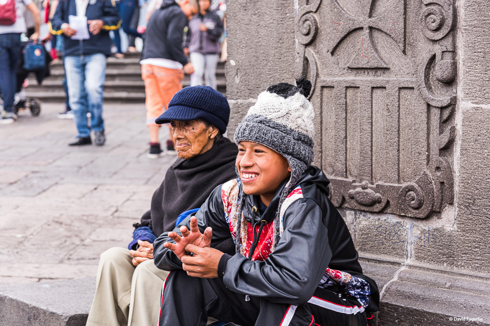
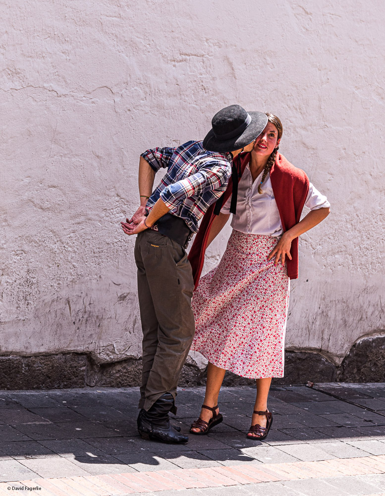
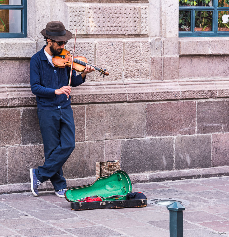
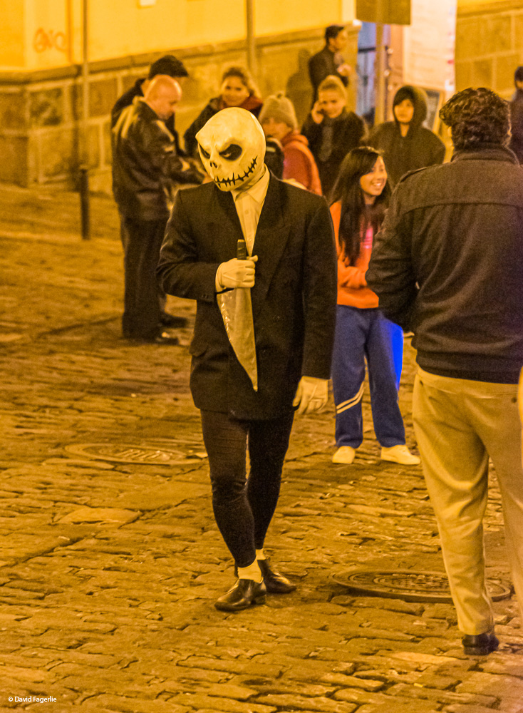
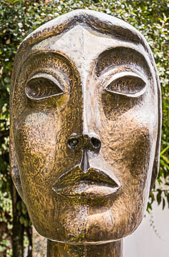
There is art, dance and music throughout the historic district.
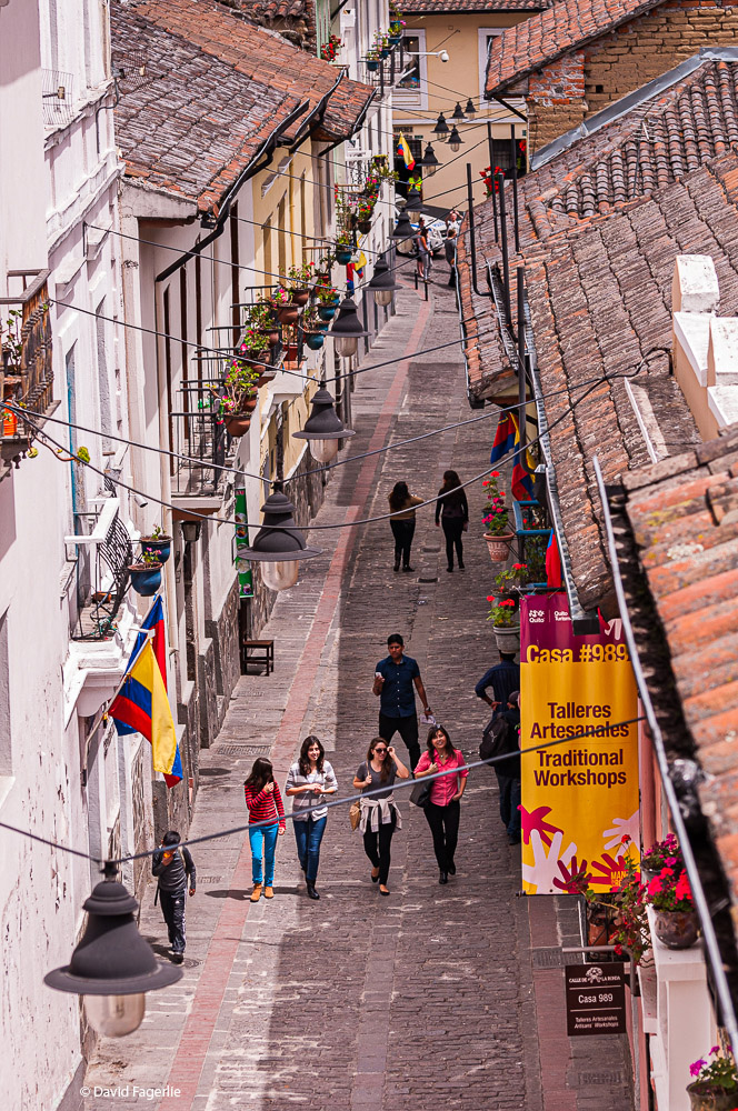
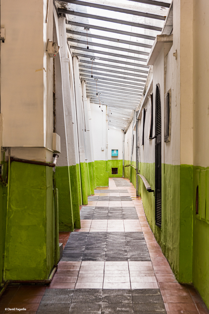
Some of the narrow passages are too interesting not to photograph.
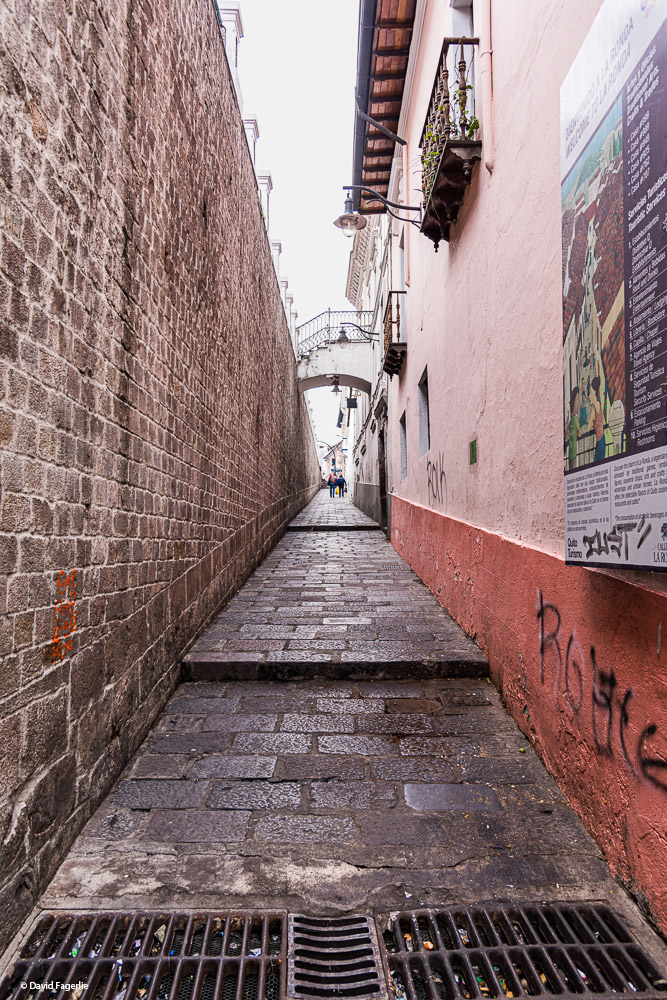
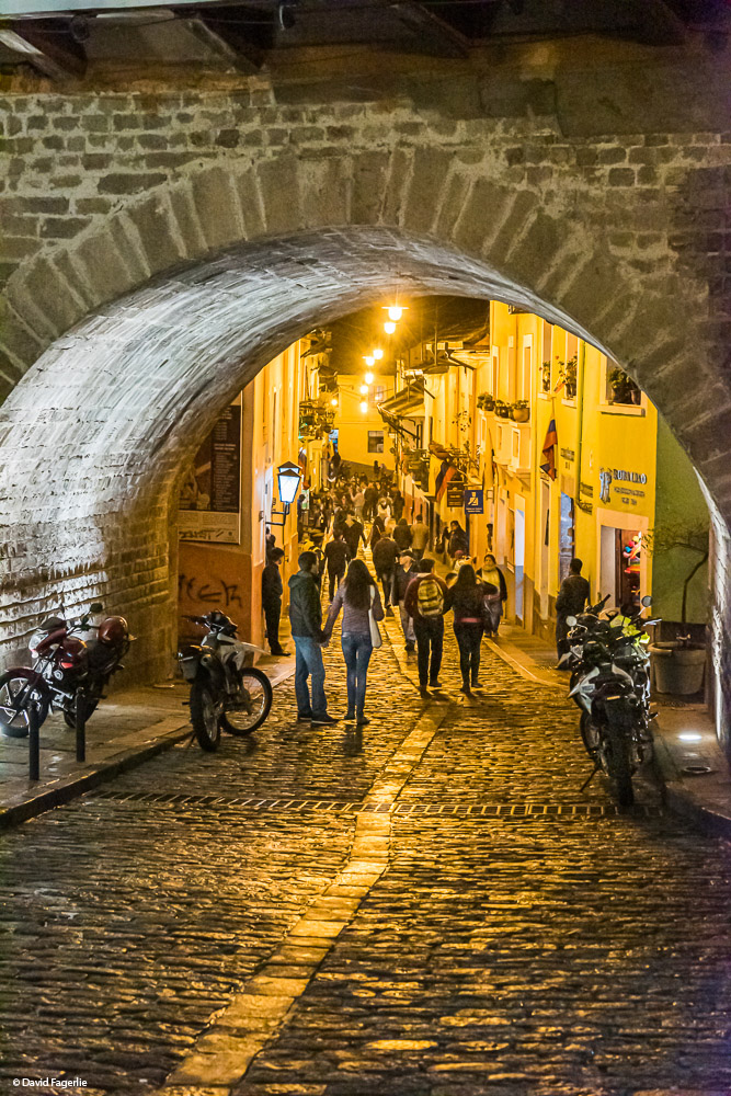
La Ronda street is only a few blocks long. Those few blocks are packed with history dating back to the 1400s when it was part of the Inca Trail from Cuzco in Perú to Quito. The predominate architecture is Spanish dating back to Spain’s occupation. Today, La Ronda is active at night with restaurants, clubs and bars full of live music and interesting street performances.
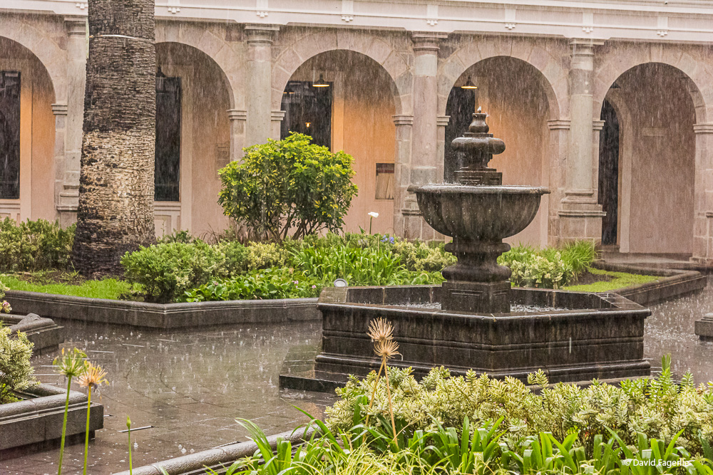
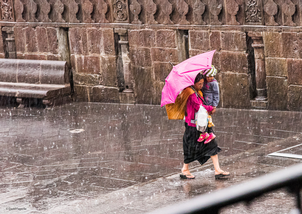
It rains in Ecuador. In high-altitude cities like Quito and Cuenca the weather is “mountain weather.” Just like when I backpacked in the Cascade and Olympic Mountains of Washington State, weather comes in spurts. It can be sunny one moment, drizzling the next or rain might come down in a deluge. Like mountain weather elsewhere, these deluges don’t usually last long; 45-minutes is typical. Many times I was caught in a sudden rain storm that flooded streets, and my shoes, in a matter of minutes. If I sheltered somewhere when the clouds let-loose I waited it out, knowing it wasn’t going to last. Another reason to wait it that catching a taxi in Cuenca during a deluge is almost impossible; everyone was hailing them even for very short trips. Here are two shots I caught in Quito during a massive downpour.
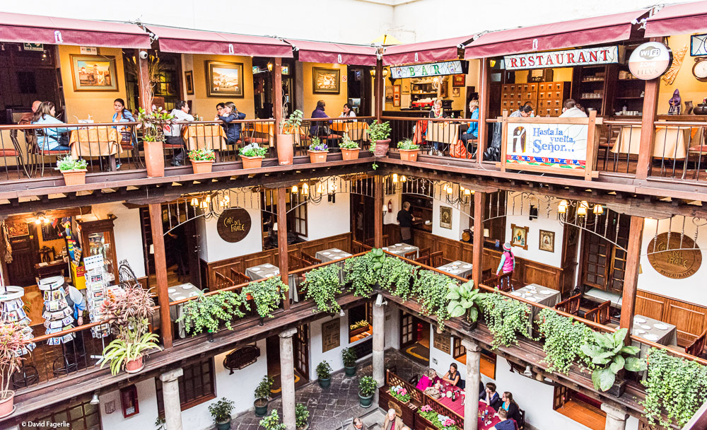
If caught in the rain, there are many places to shelter such as this dining center on Plaza Grande.
Higher resolution images in this chapter can be accessed by clicking HERE.
Next Monday we will take a closer look at some of Quito’s artistic and architectural beauty. See you then.
June 28, 2021
Chapter 4: Art Everywhere